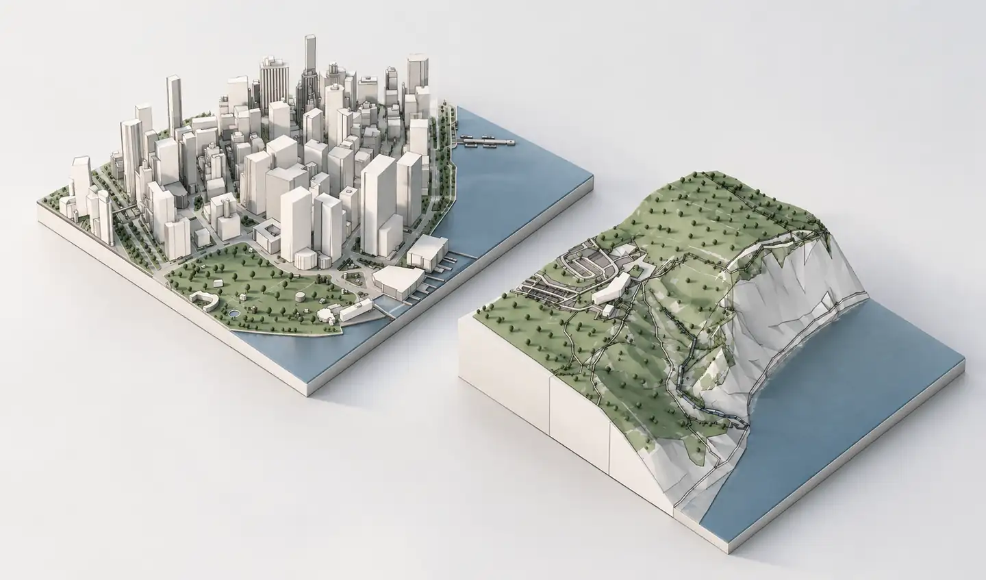
A useful architectural model needs to show how a building fits into its surroundings. Street widths, neighboring massing, slopes and waterfront conditions all influence early design decisions. Archshaper brings these elements together in one location-based 3D context workflow, so you can spend more time designing and less time rebuilding the neighborhood.
What you can do
Site context in one place
Create a coherent model of mapped buildings, roads, paths and landscape around your project instead of finding objects individually.
Choose the detail you need
Select a compact area for single-building design or expand the footprint for competitions and urban studies.
Inspect before downloading
A free browser-based preview helps you check coverage, approximate building heights and terrain before committing to an export.
Designed around architecture
Use the generated model for preliminary massing, contextual diagrams, urban design and presentations — not as a certified survey.
From a real address to a 3D site model
Begin by searching for your project address or navigating to a site. Choose the area you need around it. Archshaper creates a contextual scene from the building and geographic information available at that location.
The available layers can include building volumes, road networks, pedestrian routes, parks, trees, terrain surfaces, contours and water. Not every geographic region contains every layer or the same resolution; review the free preview to understand the model you are getting.
How to create your SketchUp context
- Search your project location — Enter an address or navigate to the part of the city you are designing in.
- Choose the surrounding area — Select a context area that supports your study without unnecessarily increasing file size.
- Generate the preview — Inspect building coverage, street layout, terrain and landscape before downloading.
- Export for your workflow — Choose an available format in the export dialog. Import the compatible file into SketchUp and confirm scale and alignment.
Built for the decisions architects actually make
For early massing, simplified neighboring buildings give a more useful sense of scale than an empty site. For landscape architecture, relief, paths and water help explain the landform. For architecture competitions, a consistent neighborhood model can support several diagrams and views without repeated preparation.
Keep context geometry separate from your proposal in SketchUp. Simplify optional layers when working with large extents, and verify critical dimensions, heights and property boundaries using reliable project survey material.
What is the best SketchUp import format?
Use the export options actually offered for your project. SketchUp supports native SKP files and COLLADA DAE imports; an OBJ export can require a suitable importer or conversion workflow, depending on your SketchUp setup. Do not assume every file type listed for other modelling tools can be imported directly.
Native SketchUp export is being prepared. Until it is enabled for your account, use the supported route shown by Archshaper's current export interface.
Frequently asked questions
Can I create a 3D map for SketchUp from an address?
Yes. Search a real-world location in Archshaper, choose an area and generate available buildings and other site context.
Does the model include terrain?
Terrain and contours can be included where elevation data and current generation settings support them.
Can I preview the model without paying?
Yes. Archshaper offers a free browser preview before a paid export.
Can I use generated building heights for construction?
No. Building heights may be estimated and the output is intended for concept and visualization rather than survey-grade documentation.
Do I need to install a SketchUp plugin?
No plugin is required to generate the model in Archshaper. Import requirements depend on the file format you download.
Start your next project with the surrounding context
Search a site, inspect a generated 3D model and export the context that helps your design.
Generate a free 3D preview