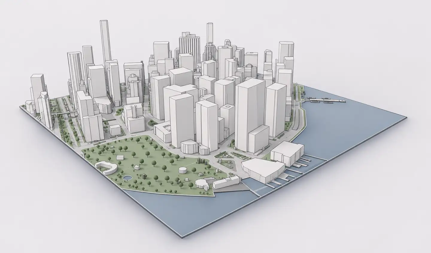
Urban design needs more than a collection of isolated 3D objects. A usable SketchUp city model has the scale of existing blocks, relative street positions, open spaces and terrain in one geographic context. Archshaper generates that context from available map data so you can focus on the proposal.
What you can do
Connected blocks and streets
Understand the massing, density and layout of the area rather than acquiring individual 3D buildings.
Choose the right extent
Generate only the district context necessary for the architectural or masterplanning task.
Separate generation from design
Preview the urban model in a browser before importing compatible geometry into SketchUp.
Performance-aware workflow
Keep building massing simple and add terrain or trees only when they improve the study.
How to generate a 3D city model for SketchUp
- Search the city or neighborhood — Open Archshaper and navigate to the urban district you are studying.
- Choose the city model footprint — Select enough surrounding blocks to understand important views, roads and urban relationships.
- Choose buildings and other mapped features — Include relevant streets, parks, terrain, water, paths and infrastructure where available.
- Inspect the free preview — Check coverage, missing buildings and approximate heights before downloading.
- Export a SketchUp-compatible model — Choose a supported export. For COLLADA DAE, use SketchUp File → Import and verify model units, scale and north orientation.
How to keep large urban context models responsive
Model size grows with selected area, terrain resolution and the number of individual landscape objects. Select only the geographic extent required for the current study, and use simplified building volumes when facade detail is unnecessary.
Separate imported context from the proposed building. Use SketchUp groups and tags to hide portions of the surroundings while editing. Confirm a known dimension and avoid duplicating heavy imported geometry.
Three real architectural uses for a SketchUp city model
High-rise concept design: compare the proposed massing with the surrounding skyline, street section and open space. Keep estimated neighbor heights clearly differentiated from measured ones.
Masterplanning: investigate relationships between districts, building density, road networks and public spaces. Focus on connected urban structure rather than individual detailed facades.
Waterfront architecture: combine buildings, street networks, harbors or coastlines and nearby public space to explain how a proposal meets the water.
3D city generator versus a single-building download
A single-building download is useful when you need one existing object. A city context generator is more appropriate when the relationship between many buildings, streets and the ground is the design input.
Archshaper's workflow generates multiple mapped features together. The actual level of detail still depends on source data, so inspect the available scene before exporting.
Which SketchUp import format should I choose?
Use the compatible option available in Archshaper for your account. COLLADA DAE is documented by SketchUp as an importable 3D format. Do not assume an OBJ export imports natively into every SketchUp edition. Native SKP should only be selected if it is offered and verified in the current export workflow.
Frequently asked questions
Can I generate several city blocks?
Yes. Select an available extent that covers the urban blocks needed for your project.
How do I reduce SketchUp file size?
Limit context extent, use simplified building massing and reduce optional terrain or tree detail.
Can I include coastlines and urban parks?
Yes, where the appropriate map and elevation data is available.
Can I import COLLADA DAE into SketchUp?
Yes, in supported SketchUp products and plans; always check your installation's file import options.
Are generated city buildings accurate?
They are contextual geometry based on available geographic data; critical building heights and boundaries need independent verification.
Is a 3D preview free?
Yes. You can inspect the generated model before purchasing an export.
Get the surrounding city into your design workflow
Generate a real location, inspect the model and use the compatible export in SketchUp.
Generate a SketchUp city model