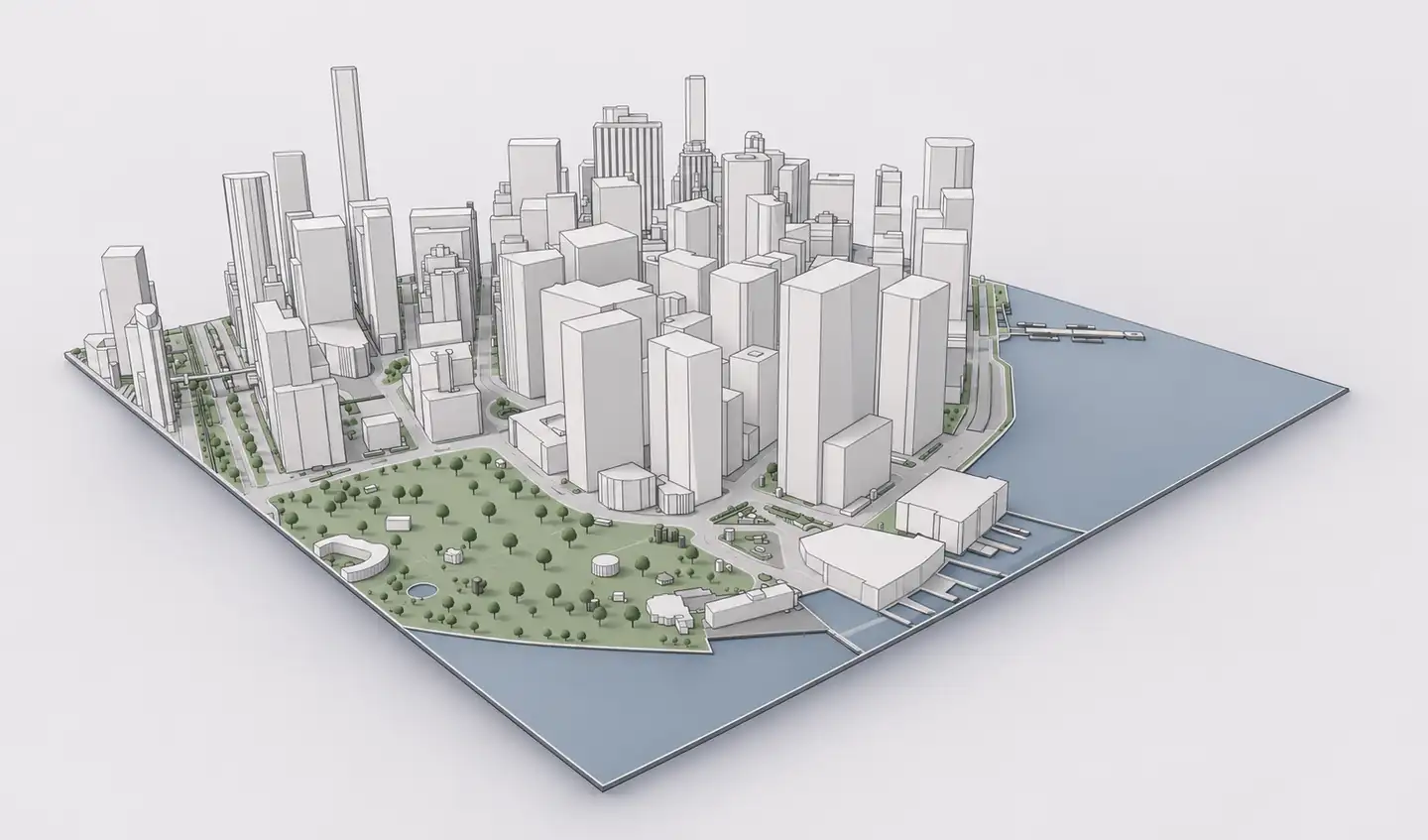
OpenStreetMap is an open geographic database, not a complete surveyed 3D city. It can contain building outlines, heights, levels and roof information, but these attributes are not recorded for every structure. The challenge for a SketchUp project is converting mapped features into useful design geometry while handling the gaps honestly.
What you can do
Footprints into volumes
Use building polygons as the basis for simplified surrounding architectural massing.
Height-aware context
Use recorded `height` or `building:levels` attributes where present; treat estimates as estimates.
Roof detail where mapped
Understand why some buildings have specific roof geometry and others remain simpler blocks.
Skip repetitive GIS work
Generate a contextual 3D model through Archshaper's location and preview workflow.
Understanding the OSM tags behind a 3D building
`building=*` identifies building features and outlines; it does not provide a measured height by itself. `height=*` can describe overall building height, while `building:levels=*` records the number of above-ground floors. A floor count is not equivalent to an exact height measurement.
`roof:shape=*` and `roof:height=*` can describe roof form and vertical roof extent where mapped. Complex buildings may also use `building:part=*` for separately modelled volumes. Each attribute can be missing or outdated, so the 3D result depends on the original records and the generator.
Method 1: Manual GIS conversion
- Obtain building features — Download an appropriate OSM-derived dataset for the geographic area you need.
- Inspect the data in GIS — Check the projected coordinate reference system, polygons and usable height and roof attributes.
- Generate building geometry — Extrude polygon footprints using documented source heights or clearly labelled estimates.
- Export for SketchUp — Convert to a format supported by your SketchUp version, then import and check scale and orientation.
Method 2: Generate building context with Archshaper
- Find your location — Search the project address in the Archshaper 3D Map Generator.
- Define the building area — Choose surrounding blocks and any additional landscape context you need.
- Preview the result — Inspect available building volumes, heights and coverage before purchasing an export.
- Download and integrate — Choose an appropriate available export and keep the imported context separate from the design model.
Why does one city look more accurate than another?
OSM mapping density and level of detail vary by place. Two nearby buildings can have different degrees of completeness, and recorded building attributes do not always match the current physical structure.
Generated context is useful for massing, urban analysis and presentation; it should not replace authoritative building measurements or measured site surveys.
OpenStreetMap attribution and usage
OpenStreetMap data is available under the Open Database License (ODbL). When using or distributing OSM-derived material, follow the applicable licensing and attribution requirements. Archshaper is an independent product, not an official OpenStreetMap tool.
Frequently asked questions
Can I open a raw OSM file directly in SketchUp?
Raw OSM geographic features generally need to be processed and converted into a supported 3D model format.
Does OpenStreetMap contain building heights?
Sometimes. Some buildings have recorded heights or floor counts; many contain only an outline.
What is the difference between height and building:levels?
Height represents a vertical measurement; building:levels is a count of above-ground floors and is not a survey-grade height.
Can OSM represent pitched roofs?
OSM supports several roof tags, but coverage and the resulting model detail vary by building and generation method.
Is OSM data available for commercial work?
Yes, subject to the Open Database License and its attribution and other requirements.
Can I preview before exporting?
Yes. Archshaper has a free browser preview.
Turn open map data into 3D site context
Generate the existing building volumes without tracing every mapped footprint by hand.
Generate 3D OSM context