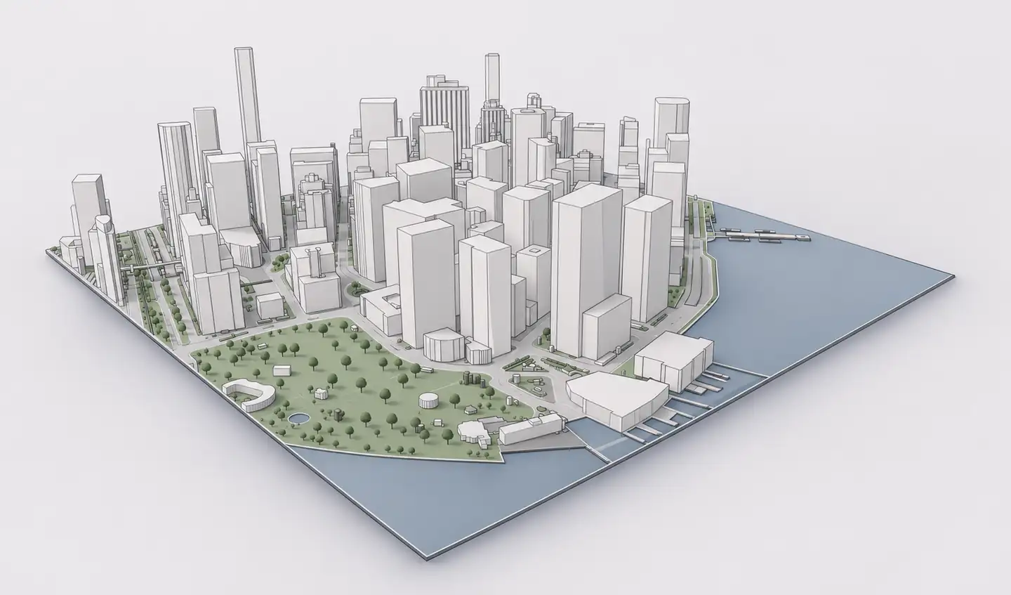
Grasshopper is excellent for procedural architectural geometry, but geographic data preparation is a separate task. OpenStreetMap gives you footprints and attributes that tools such as Heron can query and transform. Archshaper provides an alternative starting point: generate a spatial context model, then use the exported Rhino geometry as reference or as inputs to your own parametric definitions.
What you can do
Know what is parametric
A ready-made 3D model is geometric reference, not an automatically editable Grasshopper definition.
Use OSM attributes directly when needed
Heron can import OSM geometry and attributes for downstream filtering, extrusions and analysis.
Use Archshaper for fast context
Select an address and generate mapped buildings and terrain without constructing a complete GIS definition.
Rhino 3DM handoff
Bring supported .3dm context into Rhino, then reference or bake chosen elements for your Grasshopper workflow.
Option A: Use Heron to query and import OpenStreetMap
- Define a geographic boundary — In Rhino and Grasshopper, create or convert the desired study extent.
- Download relevant OSM features — Use Heron's Get REST OSM component and suitable filters, including building or highway features.
- Import OSM features and attributes — Heron's Import OSM component returns geometries and recorded fields such as building tags.
- Construct or analyze geometry — Apply height rules, group footprints, build volumes and connect other parametric definitions as needed.
- Add topography separately — For terrain surfaces, obtain suitable elevation rasters and use terrain-focused components such as Import Topo where relevant.
Option B: Use ready-made context from Archshaper
- Search the project site — Select the exact geographic area using Archshaper 3D Map.
- Preview the existing geometry — Inspect building massing, roads, terrain and available landscape context.
- Export an available Rhino 3DM model — Choose the Rhino-compatible format when available in the export interface.
- Reference geometry in Grasshopper — Open or import the 3DM file in Rhino; connect selected objects to Grasshopper geometry parameters for the analysis or generative steps you need.
Heron versus Archshaper: choose by the output you need
Use Heron when the core task is processing geospatial data and attributes parametrically, especially if the model must update based on data filters and spatial rules. That flexibility requires setup and reliable source datasets.
Use Archshaper when you need a coherent 3D neighborhood or landscape reference quickly. The generated output is a context model; it does not replace Heron's ability to query source attributes dynamically or the creative control of Grasshopper.
Coordinate systems, units and buildings heights
GIS queries often use coordinates and projections that need conversion into your local Rhino model space. Check coordinate reference systems and dimensions, and work close to an appropriate local origin to avoid precision problems.
OSM footprints may not have recorded `height` or `building:levels` attributes. Do not treat estimated heights as survey measurements. When comparing parametric results with generated context, use identical assumptions.
Context model performance in Grasshopper
Even when the model is geometrically simple, referencing a large collection of buildings, detailed terrain and vegetation into one Grasshopper definition can slow recomputation. Limit the study boundary and bring in only the geometry required by each script.
Keep the source site model separate from generated design elements, and make analysis assumptions explicit so updates are repeatable.
Frequently asked questions
Can Grasshopper import OpenStreetMap buildings?
Yes. Plugins such as Heron offer OSM query and import components that provide building geometry and associated attribute information.
Does Archshaper export a Grasshopper definition?
No. It can provide available Rhino-compatible 3D geometry that you may reference from a Grasshopper definition.
Can I get terrain as well as buildings?
Yes, where geographic elevation data and generation settings support terrain.
Should I use Heron or a model generator?
Choose Heron for parametric attribute control; choose a generator when you primarily need a ready-made architectural context model.
Are OSM building heights exact?
Only some have recorded height information. Others need assumptions or estimates.
Can I generate a preview without purchasing?
Yes. The browser-based 3D preview is free.
Bring the place into your parametric workflow
Generate contextual geometry in Archshaper and use it alongside your Rhino and Grasshopper definitions.
Generate Rhino site context