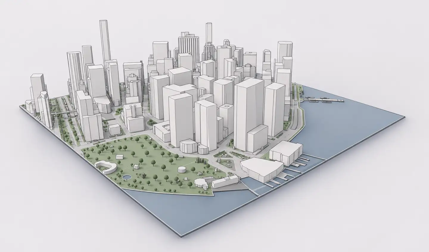
A practical 3D city model is not a collection of decorative buildings. It is a connected representation of existing urban blocks, streets, public space and landscape that can support architectural site analysis, urban design and presentation. Archshaper generates this context from available map and elevation data.
What you can do
The surrounding city in one model
Generate building volumes and street relationships around a real address, rather than searching for individual 3D assets.
Terrain and waterfront context
Include mapped coastlines, waterways and topography when the geographic source coverage supports them.
A preview before purchase
Inspect the building coverage and spatial extent in your browser before deciding to export.
Built for design workflows
Start with a geographically organized context model that you can adapt in supported modelling and visualization software.
How to download a real-world 3D city model
- Search a city or address — Open the Archshaper 3D Map Generator and find the specific neighborhood or site you are studying.
- Choose the right geographic extent — Select nearby blocks for a single-building study or a larger district for urban design. Keep the selection proportionate to the work.
- Choose context layers — Include the relevant buildings, streets, paths, parks, terrain and water. Available features depend on local data and generator settings.
- Inspect the free browser preview — Rotate the model and check important building volumes, streets, geography and the relationship to your project.
- Download the available export — Choose a supported format for your intended software and confirm the units and orientation after importing.
What your city model can actually contain
Building footprints provide the horizontal form of the city. Where recorded height or level information exists, the generator can use it to construct vertical context; missing measurements may be estimated. Roof shapes may be simplified where detailed roof data is unavailable.
Streets, paths, water and vegetation help explain how buildings relate to the public realm. Terrain geometry represents available elevation information, which can vary greatly in detail between countries and even adjacent regions.
Choose model content by architectural task
For an individual building or infill proposal, prioritise the immediate street, neighboring masses and relevant ground levels. For an architecture competition, add enough context to produce clear axonometric diagrams and presentation perspectives.
For masterplanning, include the larger urban network, open spaces and nearby infrastructure. For a waterfront project, include coastline and public-space connections. Resist adding features that never appear in your studies: excess geometry can slow down downstream design software.
Using city context responsibly
A generated city model supports conceptual massing, visual analysis and early design communication. It is not a certified measured survey or a substitute for legal property boundaries, accurate construction levels or verified building heights.
Check source-data completeness in the preview and verify the critical dimensions and surrounding conditions with authoritative project information before using them for regulatory or engineering decisions.
Frequently asked questions
Can I download a neighborhood instead of one building?
Yes. Select an available city area around your project; larger extents can produce heavier 3D models.
Does a city model include roads and terrain?
It can include mapped roads and terrain when the relevant geographic data and generation settings support them.
Can I use the model in SketchUp or Rhino?
Use one of the available compatible export formats and check the target application's import support.
Are the buildings survey-accurate?
No. Recorded data quality varies and missing heights may be estimated; use the model as design context.
Can I preview the city before paying?
Yes. Archshaper provides a free browser-based 3D preview before the export purchase.
Start with the real city
Select an area, inspect the urban context and export geometry that supports your architectural or planning work.
Generate a city model