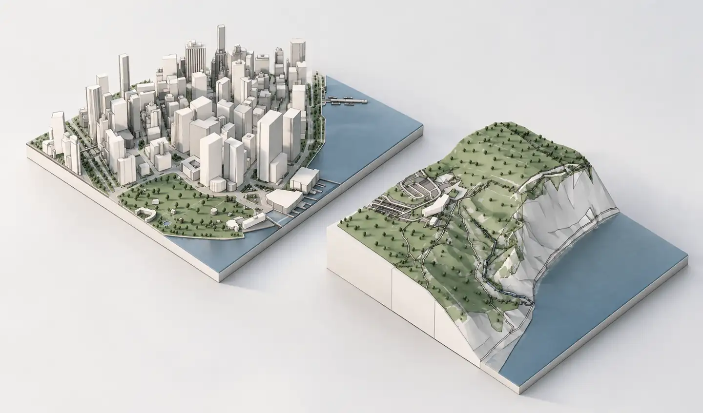
BlenderGIS connects Blender with geographic datasets and can retrieve OpenStreetMap features, terrain elevations and basemaps. It is a capable open-source addon when you need control over GIS operations inside Blender. But many architects simply need surrounding building massing and ground geometry to begin visualization. Archshaper offers a separate, browser-based generation and preview workflow.
What you can do
Use BlenderGIS for GIS control
Import vector and raster geodata, request OSM features, and work with georeferenced terrain inside Blender.
Use Archshaper for fast model preparation
Select a real-world location, inspect available 3D context and download supported geometry.
Choose based on your workflow
A browser-generated context mesh and a full GIS addon solve related but different problems.
Free preview before export
Review the generated buildings, roads, topography and water before paying for a model download.
What BlenderGIS can do
BlenderGIS is a free open-source addon for Blender. Its documented features include importing shapefiles, raster elevation datasets and OpenStreetMap files, requesting online OSM features and obtaining elevation datasets such as NASA SRTM.
BlenderGIS can also manage georeferencing, work with basemaps and build terrain meshes. If your project requires GIS processing directly inside Blender, these capabilities may be exactly what you need.
How Archshaper approaches the same site differently
- Search a real-world location — Open Archshaper's browser-based 3D Map Generator.
- Choose a practical study area — Select only the city blocks or surrounding landscape you need for your design.
- Generate a 3D preview — Inspect existing building massing, available terrain, paths, green areas and water.
- Export supported geometry — Select an available export format for your Blender workflow; OBJ or GLB may be appropriate when offered.
- Import into Blender — Check scale and origin, then organize imported geometry into collections for visualization and editing.
BlenderGIS versus Archshaper
BlenderGIS is a compelling choice for custom GIS operations, direct source-data access, georeferencing and reproducible geographic analysis. As an open-source addon, it can provide value without a paid context-model export.
Archshaper is useful when a location-based 3D model and browser preview are the immediate deliverable. It does not replace advanced BlenderGIS features or guarantee higher geographic coverage at every location.
Formats, materials and geometry
OBJ typically carries polygonal geometry and can reference separate materials and textures. GLB packages a glTF scene and may support a more streamlined interchange depending on the target Blender workflow. Select only a format currently offered in Archshaper's export dialog.
Imported real-world geometry may have a different unit system or origin from your Blender scene. Verify a known distance and choose a local working coordinate system when the project uses large geographic coordinates.
Three strong use cases for architectural visualization
Urban massing: create a simple city context for white-model renders and volume studies. Landscape scenes: integrate available terrain, vegetation and waterways to communicate site relationships. Competition visuals: render a consistent context model with your proposal highlighted rather than rebuilding every nearby building.
Be transparent about data quality. The resulting model may use estimated building heights or simplified roofs and should not be presented as a certified 3D survey.
Frequently asked questions
Is BlenderGIS free?
BlenderGIS is an open-source addon for Blender; check its repository and license for current versions and usage terms.
Does BlenderGIS import OpenStreetMap data?
Yes. Its documented tools include OSM imports and web-based geographic data retrieval.
Does Archshaper replace BlenderGIS?
No. It simplifies generation of design context but is not a full GIS plugin inside Blender.
Can I import OBJ or GLB into Blender?
Yes. Blender supports common 3D interchange formats, subject to version and import settings.
Is the Archshaper export free?
The browser preview is free, while downloads generally require credits or a qualifying subscription.
Can generated heights be used for technical approvals?
Not without verification. Map-derived building heights may be incomplete or estimated.
Generate the surroundings, then make the architecture visible
Use the GIS workflow that fits your project, or preview and export context directly from Archshaper.
Generate a free 3D site preview