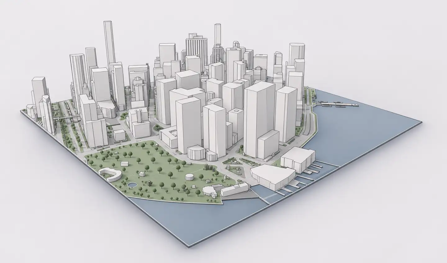
QGIS is excellent at acquiring and processing spatial data; SketchUp is designed for modelling. Moving from one to the other requires decisions about building heights, projected coordinates, geometry and file formats. QGIS exports its 3D scene as OBJ, but OBJ is not a universal native import path for every SketchUp installation. Archshaper offers a browser-based alternative when your goal is a site-context model rather than a custom geospatial pipeline.
What you can do
Understand both routes
Compare the step-by-step QGIS export workflow with a location-to-model generator.
Check file compatibility
A QGIS OBJ scene may need an importer or intermediate conversion before SketchUp can open it.
Keep coordinates under control
Account for CRS, unit systems and the difference between geospatial coordinates and a local design origin.
Download only useful context
Select building and terrain layers that answer your design question without making the model too heavy.
Method 1: Export a 3D scene from QGIS
- Load building polygons and elevation data — Bring source GIS layers into QGIS; inspect attribute coverage for heights or storeys.
- Set a suitable projected CRS — Use consistent projected units for the study area and define an origin appropriate for 3D modelling.
- Create a QGIS 3D Map View — Configure terrain elevation and extruded buildings using the appropriate attributes; avoid interpreting missing heights as measured.
- Export the 3D Scene as OBJ — Use the 3D Map View Export 3D Scene command and inspect scale, terrain resolution and normals.
- Convert or import into SketchUp — Verify whether your SketchUp edition supports your chosen OBJ import workflow. If not, convert via a supported intermediary and check geometry, scale and origin.
Method 2: Generate the context in Archshaper
- Search a real-world location — Open Archshaper 3D Map and find your site.
- Choose the area and layers — Include mapped buildings, roads, terrain and other relevant landscape context.
- Generate the browser preview — Review available building coverage and approximate heights before deciding to purchase the export.
- Download an available SketchUp-compatible format — Choose the export actually offered in Archshaper's interface; use a format compatible with your installed SketchUp version.
QGIS versus a context model generator
Choose QGIS when your work needs detailed GIS queries, custom projections, geoprocessing, attribute control or reproducible spatial analysis. It provides more control over the data and conversion process.
Choose Archshaper when your immediate goal is to build architectural massing and terrain context from a location without assembling a separate GIS project. It does not replace QGIS as a general-purpose geospatial analysis application.
Common coordinate and performance mistakes
A geographic CRS expressed in degrees is not equivalent to model units in meters or feet. Work in appropriate projected units and check a known dimension after importing. Large geographic coordinates can also cause modelling precision problems; consider a local origin.
Unnecessary tree geometry, high-resolution terrain and oversized map extents increase polygon count. Start with the immediate neighborhood, and verify that exported terrain does not accidentally duplicate a terrain surface already in SketchUp.
Building height and licensing notes
OSM height, floor-count and roof attributes are inconsistent between locations. Record assumptions before using the model for studies that depend on exact height or grade. Respect source-data licenses and attribution obligations for any geographic datasets you export.
Frequently asked questions
Can QGIS export buildings as a 3D model?
Yes. A configured QGIS 3D Map View can export terrain and vector objects as an OBJ scene.
Can SketchUp always open OBJ directly?
No. OBJ import options vary by SketchUp product, version and extensions; check the specific installation or convert to a supported format.
Why is my GIS model far from the SketchUp origin?
GIS data can use large projected coordinate values; model at an appropriate local origin and verify alignment.
Can Archshaper avoid manual GIS setup?
Yes. It generates available architectural 3D context from a browser-based location selection.
Can I include terrain and buildings together?
Yes, where map and elevation coverage support both layers.
Is the Archshaper preview free?
Yes. You can inspect the generated model before purchasing an export.
From GIS data to architectural design
Use QGIS for complete geospatial control or generate a practical 3D site context model directly in Archshaper.
Generate site context without GIS setup