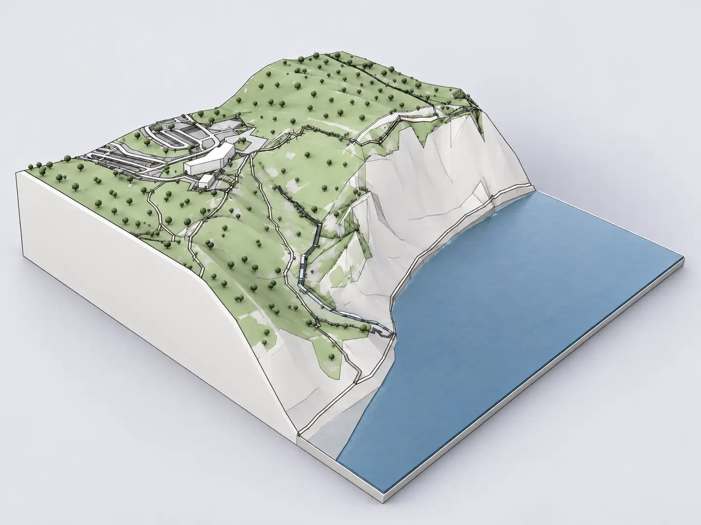
Vectorworks combines building design, site planning and landscape workflows. For concept design, the task is often to understand existing conditions quickly: surrounding building massing, ground relief, paths, roads and water. Archshaper generates geographic 3D context from a selected location; Vectorworks can bring in supported 3D geometry for further design work.
What you can do
Context for architecture and landscape
Generate existing buildings and available terrain around the precise location you are designing.
Import into Vectorworks
Vectorworks documents Rhino 3DM and OBJ imports, with version and geometry limitations worth checking.
Choose the correct model extent
A compact neighborhood or a broader landscape each serves different design questions.
Inspect before purchasing
Preview the site context and source coverage in the browser before selecting a paid export.
How to import Archshaper site context into Vectorworks
- Select the site — Search the real project location in Archshaper 3D Map.
- Choose the geographic extent — Include adjacent buildings and important landscape features without generating an oversized city.
- Review buildings and terrain — Inspect the browser preview, checking steep slopes, important streets and missing building data.
- Download a supported export — Choose OBJ or Rhino 3DM only when it is available for your Archshaper model and supported by your Vectorworks version.
- Import in Vectorworks — Use File > Import > Import OBJ or Import Rhino 3DM, depending on your chosen format. Confirm units, mesh detail and placement.
Rhino 3DM versus OBJ in Vectorworks
Vectorworks 2026 documentation states that Import Rhino 3DM can import Rhino objects from Rhino 7 and earlier. Closed solids may import as imported solids, and surfaces as NURBS; check file-version compatibility when your exporter creates newer 3DM files.
OBJ imports as polygonal mesh geometry and can include supporting material files. The resulting geometry is not automatically a native parametric Vectorworks Site Model or BIM object. Match the format to the task and verify compatibility with a sample export.
Architecture, landscape and urban use cases
Urban projects: surrounding building volumes and streets help evaluate neighborhood scale and the relationship between design proposals and public space.
Landscape projects: available terrain, water and mapped paths provide a conceptual spatial base for planting, grading exploration and presentations. When you need accurate hardscape grading, use verified survey data and appropriate native Vectorworks terrain tools.
Keep the model manageable
Choose only the context needed for the presentation or decision. Trees, dense topography and large geographic selections can significantly increase polygon count.
Import surrounding context on a distinct design layer or class where appropriate, validate a known length and check that the model origin and elevation are reasonable for your project.
Do not mistake context for a survey
Public geographic data can omit features, use estimated building heights and generalize small terrain changes. Verify site levels, boundaries and significant neighboring heights before relying on them for permits, specifications or engineering.
Frequently asked questions
Can Vectorworks import Rhino 3DM?
Yes. Vectorworks documents Rhino 3DM import; compatible Rhino file versions and resulting geometry types vary by Vectorworks release.
Can Vectorworks import OBJ?
Yes. OBJ is documented as a mesh import workflow. Imported meshes are not automatically native site model objects.
Can Archshaper include roads and water?
Yes, where those mapped layers are available.
Does Archshaper create a Vectorworks VWX file?
No. Use one of the compatible exchange formats offered in the Archshaper export interface.
Are the topographic levels survey-accurate?
No. Treat generated terrain as design context and use verified survey data for technical grading.
Is there a free preview?
Yes. You can preview available 3D site context before a paid download.
Generate the existing conditions first
Select a location and create geographic site context for your next Vectorworks design model.
Generate Vectorworks site context