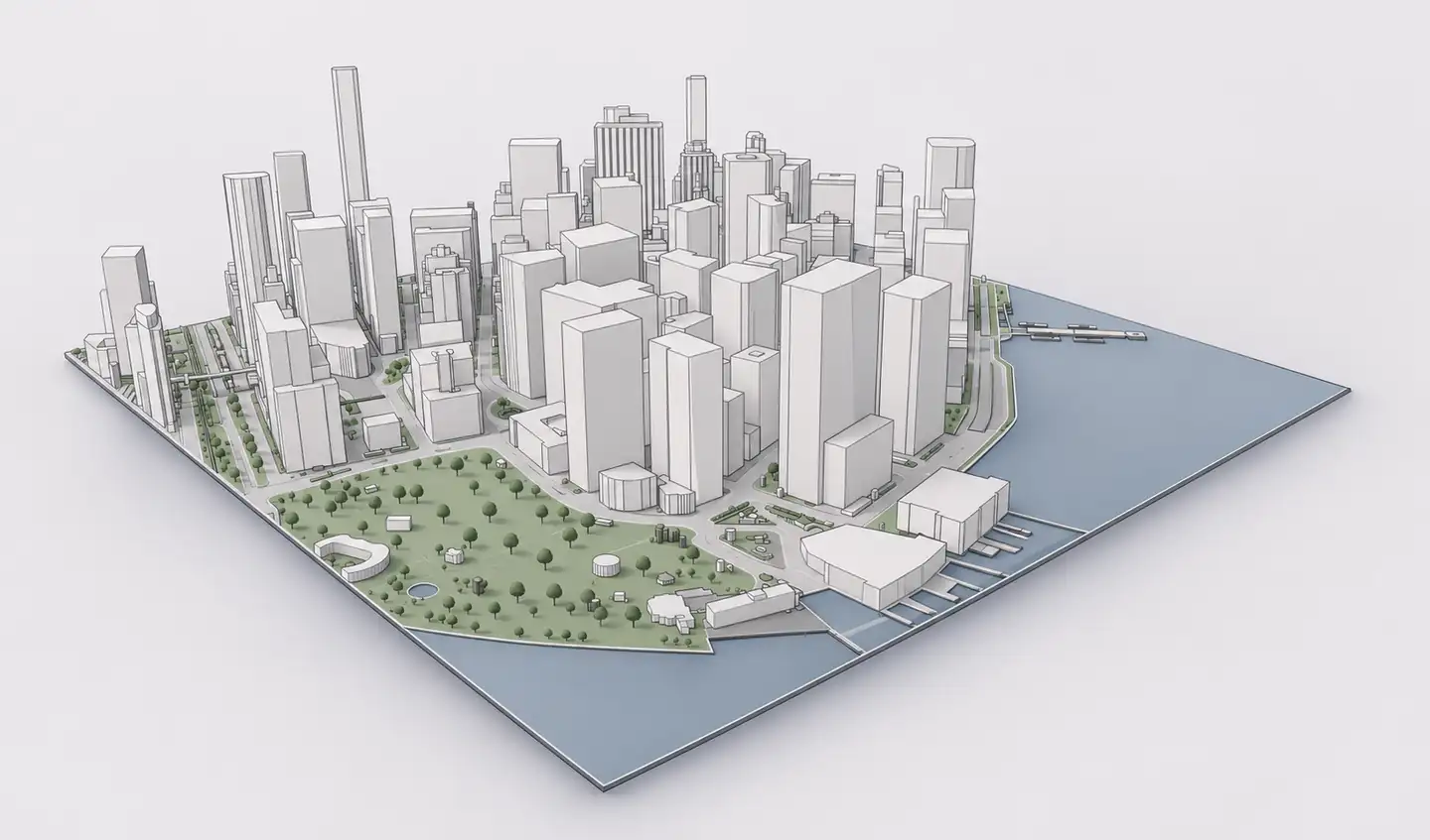
An Archicad project needs more than a correctly modelled proposed building: neighboring heights, street widths, ground levels and access can change the design. Archshaper generates geographic site context independently from your BIM model. Review the real available geometry before selecting an export, then import a compatible 3D model into Archicad.
What you can do
Real surrounding buildings
Create geographic massing from mapped footprints and available vertical data, rather than drawing each neighbor manually.
Terrain and urban setting
Include available elevations, paths, roads, parks and water for a more meaningful site model.
A documented Archicad import path
Archicad supports Rhino 3DM imports as objects; confirm the 3DM option offered by Archshaper for your selected generation.
Preview before purchasing
Check context extent, terrain coverage and approximate building forms in a free browser preview.
How to move a real-world site model into Archicad
- Find the project location — Search the address or geographic location in Archshaper 3D Map.
- Choose the right context boundary — Select the nearby buildings and landscape needed for your BIM study; a smaller area is usually easier to manage.
- Generate and inspect — Preview the context model and check coverage, terrain and approximate neighboring heights.
- Export a compatible file — If Rhino 3DM is offered for the model, download the .3dm file and retain any accompanying documentation.
- Import into Archicad — Use File > Libraries and Objects > Import Rhino 3DM File as Object, or the available Open/Merge 3DM workflow in your version. Check model placement, scale and segmentation.
What arrives in Archicad — and what does not
Graphisoft documents Rhino 3DM import as an Archicad object. The result is not automatically converted into native editable walls, roofs, slabs or BIM elements; it is contextual geometry. Keep it separate from your proposal and apply Archicad's own BIM elements for construction documentation.
Check whether hidden Rhino elements and curved-surface segmentation should be imported. High polygon counts can increase file size and make navigation slower. Import settings and available commands vary by Archicad version.
Three design scenarios where context matters
Urban infill: study adjacent building heights, street enclosure and the scale of the surrounding block before refining massing. A simple 3D neighborhood often communicates the planning problem better than an isolated hero render.
Coastal or sloping sites: add available terrain and nearby roads to establish access and landscape relationships. Competition projects: create consistent context for multiple views, axonometrics and explanatory diagrams without remodelling the surroundings.
Accuracy checklist before BIM decisions
Generated building heights can be estimated when recorded data is missing. Terrain models are not measured surveys, and property boundaries may not represent legal cadastral extents. Check critical dimensions and elevations with authoritative project information.
Confirm import units, north alignment, position and reference level before connecting the context to a coordinated BIM model.
Frequently asked questions
Can I import Rhino 3DM into Archicad?
Yes. Graphisoft documents importing Rhino 3DM as an object or using supported Open/Merge workflows.
Will imported buildings become native Archicad walls?
No. Rhino 3DM context is imported as an object, not automatically converted to parametric BIM building elements.
Can Archshaper include terrain and roads?
Yes, where geographic data and available generator settings support those layers.
Are imported building heights exact?
Not necessarily. Missing heights may be estimated, so verify important dimensions independently.
Do I need Rhino installed to use a 3DM file?
Graphisoft documents direct Rhino 3DM import into Archicad; check compatibility with your Archicad version.
Can I preview the context before paying?
Yes. Archshaper provides a free 3D preview before export.
Build the proposal, not the entire neighborhood
Search a real location, generate the context, inspect the model and import a compatible export into your Archicad project.
Generate Archicad site context