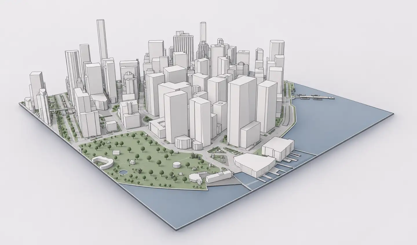
When you begin a project in SketchUp, the first challenge is often not modelling the proposal: it is recreating everything around it. Surrounding buildings matter for scale, street enclosure, view corridors and preliminary shadows. Archshaper lets you select an area and generate available building geometry as a coherent context model.
What you can do
Surrounding building volumes
Use available footprints and height information to establish neighborhood scale and massing.
Urban blocks instead of isolated objects
Keep streets, spaces and adjacent buildings in geographic relationship with each other.
Preview source coverage
Check the actual building volumes available for your site before paying for an export.
Broader context when needed
Combine buildings with roads, landscape, water and terrain rather than assembling multiple downloads.
How to download surrounding buildings
- Search for the project site — Enter the address or city area where you need the existing buildings.
- Select your coverage — Start with a smaller extent around the design site and expand only when it helps the project.
- Inspect the free 3D preview — Check which buildings are mapped, where height detail is available and whether the selection covers your views.
- Export and organize in SketchUp — Select the supported export format, import using the relevant SketchUp workflow and keep existing context separate from the design.
What building information will the model contain?
The core model uses available geographic building footprints to construct 3D context. Some regions offer recorded heights, floors or roof information; other locations contain only footprint data. Missing heights may be approximated, so the result is best treated as preliminary massing.
For a dense downtown site, even simplified building blocks can be valuable. They help you compare a proposed building's overall height, study street-wall continuity and communicate an urban concept without hand-modelling each neighbor.
Include surrounding streets and landscape
Buildings are most useful when their relationship to the site is visible. Where supported, include roads, pedestrian paths, parks, water and topography. This transforms a set of disconnected masses into a legible urban site model.
If you are preparing diagrams, you may prefer white massing and fewer landscape objects. For rendered views, tree and terrain context can be helpful. Choose only the data necessary for the intended output to keep large SketchUp files manageable.
Use your 3D buildings responsibly
Generated context is not a measured building survey. Check structural dimensions, roof heights, setbacks and neighboring property limits against verified project information before relying on them for regulatory or technical decisions.
Source-data availability differs between New York, London, Copenhagen and smaller cities. A free preview is the fastest way to learn what your selected area contains.
Frequently asked questions
Where can I download 3D buildings for SketchUp?
Archshaper lets you generate and preview surrounding building context around a selected location, then export using available formats.
Can I download a whole neighborhood?
You can choose a larger coverage area, but larger selections increase model complexity. Use only the extent required for your study.
Are these models suitable for shadow studies?
They can support early qualitative shadow exploration, but verify any estimated heights before using results for technical analysis.
Are building heights measured?
Some locations have recorded heights. Others rely on estimates; quality and detail depend on data coverage.
Is the 3D preview free?
Yes. You can inspect the browser preview before purchasing an export.
Get the surrounding buildings for your project
Generate real-world building context first. Decide whether it has the detail you need before downloading.
Generate building context