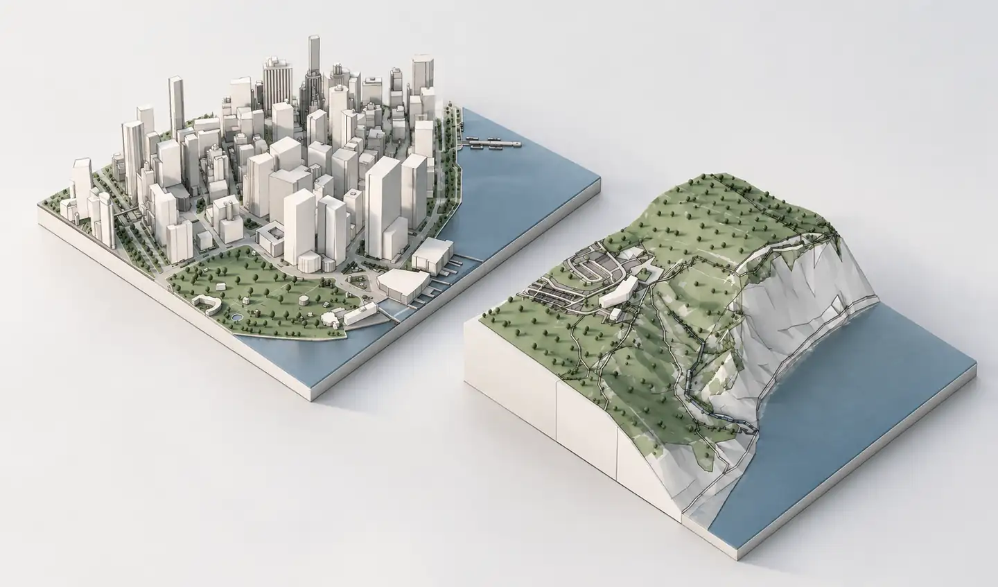
CADmapper is a well-established tool for converting geographic data into CAD-friendly building and site information. It can be a strong fit for small projects and offers a free tier for limited download areas. Archshaper offers an alternative for architects who prioritize an interactive 3D preview of the generated scene and a workflow combining buildings, terrain and landscape.
What you can do
Archshaper: preview first
Select an area, generate context and inspect the 3D result in the browser before purchasing an export.
CADmapper: established CAD workflow
CADmapper is a useful option for downloads and CAD-oriented source geometry, including a limited free tier.
Compare data coverage
Neither service can create verified information where underlying geographic datasets are missing.
Choose by your actual deliverable
Check required format, available layers, site scale and import route before selecting the tool.
Why architects compare CADmapper and Archshaper
Both products address the same time-consuming task: turning the built environment around a project into useful modelling context. Tracing city blocks from map images or reconstructing terrain by hand is seldom the best use of a design team's early-stage time.
CADmapper can be especially compelling when its included area and output formats already match a project. Archshaper is worth considering when you need to inspect the actual generated 3D geometry first or combine it with Archshaper's other site-mapping tools.
How to test Archshaper as your CADmapper alternative
- Search the actual project address — Do not judge either service using an unrelated demonstration city.
- Select the same project extent — Test the surrounding buildings and landscape at the scale you will use in SketchUp.
- Generate and inspect the free preview — Check missing buildings, approximate heights, terrain coverage and model complexity.
- Compare export options — Verify that the format available for download fits your SketchUp version and workflow.
Which one should you choose?
Choose CADmapper if a small free download fits the project and its CAD-oriented deliverable is what you need. Choose Archshaper if the ability to inspect buildings, terrain, roads and landscape as one model before export is central to your process.
For either service, check licensing requirements and the quality of source data. Generated models are architectural context, not land surveys or verified building records.
Compare the workflows
| Consideration | Archshaper | CADmapper |
|---|---|---|
| Primary workflow | Interactive 3D scene preview before export | Geographic data conversion and CAD model download |
| Free access | Browser-based 3D preview; export is paid | Free downloads for limited areas, subject to current limits |
| SketchUp use | Import supported exported format into SketchUp | SketchUp-compatible model workflow |
| Data completeness | Varies by location and layer | Varies by location and dataset |
| Other architectural tools | 2D site-map and diagram workflow available | CAD/GIS-oriented output |
Frequently asked questions
Is Archshaper affiliated with CADmapper?
No. Archshaper is an independent product and a separate geographic context modelling workflow.
Does CADmapper offer free downloads?
CADmapper has offered free downloads for areas up to 1 km². Check its current limits and formats on the official website.
Does Archshaper offer a free preview?
Yes. You can generate and inspect a browser-based 3D preview before paying for export.
Which is best for SketchUp?
Choose based on the import format you can use, the data coverage at your site and whether previewing the generated model matters to you.
Are models from either tool survey-grade?
No. Verify the data that matters for technical or regulatory decisions with appropriate survey sources.
See your actual site before choosing an export
Compare the result using your own project address. The Archshaper preview is free.
Try the free 3D preview