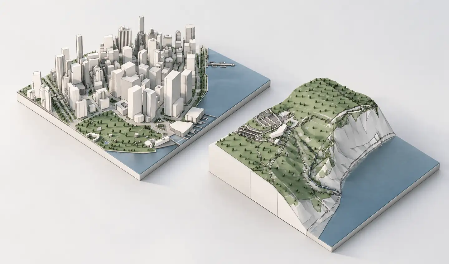
SketchUp Add Location is a powerful built-in geolocation and site-context feature. It already supports imagery, terrain meshes and simplified 3D buildings where available. Archshaper is a different workflow: generate a standalone geographic context model, inspect its actual geometry in your browser and export the model if it suits your design.
What you can do
See the context before paying
Review mapped building coverage and surrounding terrain in Archshaper's free 3D preview.
Independent design asset
Generate a downloadable site context model before importing it into SketchUp or another supported application.
More than building massing
Include mapped streets, paths, water, green spaces and other relevant layers when supported.
Use both workflows together
Combine SketchUp's geolocation capabilities with externally generated geometry after checking alignment.
What SketchUp Add Location already does
SketchUp Add Location lets users geolocate a project, align it to true north and import map imagery. Current site-context workflows can include flat or elevated sites, terrain meshes and simple 3D buildings, depending on plan, location and data coverage.
SketchUp also provides controls for terrain mesh density and building geometry options in supported versions. If you only need a quick geolocated terrain and nearby simple masses inside SketchUp, Add Location may be all you need.
Where an independent context generator helps
Archshaper lets you choose and generate the 3D context outside your main SketchUp file. That makes it useful when you want to inspect a particular area, decide whether the geographic coverage is sufficient and download a standalone context model for your work.
Available models can include buildings with mapped street, terrain, water and landscape context. Archshaper does not replace every geolocation or imagery feature in SketchUp.
How to choose between the tools
- Use Add Location for native geolocation — If your main task is positioning a SketchUp file at a real address and applying map imagery or supported terrain, use the built-in tool.
- Try Archshaper for a standalone context — Search the same location in Archshaper and generate a 3D preview of the building and landscape context.
- Check the quality of each result — Compare actual building coverage, terrain and relevant surrounding layers rather than assuming one provider is always more detailed.
- Import and verify — If you download the Archshaper model, confirm dimensions, north alignment and site position after importing it into SketchUp.
A note on accuracy and model performance
Both approaches depend on their underlying geographic data. Simplified or estimated building forms should not be treated as measured surveys.
SketchUp's own guidance notes that high-density terrain meshes and substantial imagery can affect performance. Keep the geographic area and level of detail appropriate to your intended views.
Compare the workflows
| Capability | SketchUp Add Location | Archshaper |
|---|---|---|
| Geolocating a SketchUp project | Built-in geolocation and true-north controls | Search by geographic location for context generation |
| Map imagery | Satellite and street-map imagery options | Location-selection map, not an imagery replacement |
| 3D buildings | Simple 3D buildings where geographic coverage exists | 3D building context from available map records |
| Terrain | Elevated sites and terrain mesh density controls | Generated geographic terrain where elevation data exists |
| Preview workflow | Import context directly into your SketchUp file | Inspect a standalone browser preview before paying |
| Standalone model | Context integrated with the SketchUp project | Download a supported 3D context export |
| Additional mapped features | Site context options vary by location and plan | Streets, paths, water, parks and trees where available |
Frequently asked questions
Does Add Location now support 3D buildings?
Yes. SketchUp's current documentation describes adding simple surrounding 3D building geometry where data is available.
Is Archshaper an Add Location plugin?
No. It is an independent, browser-based context model generator.
Can Archshaper include terrain and water?
Yes, when elevation and other mapped geographic datasets support the requested area.
Can I use Archshaper and Add Location together?
Yes, but align and verify the imported context's scale, origin and geographic orientation.
Is Archshaper's preview free?
Yes. You can inspect the 3D context before paying for an export.
Does Archshaper replace SketchUp map imagery?
No. SketchUp Add Location has its own geolocation and imagery functions.
Compare the actual model, not just a feature list
Generate a real location in Archshaper, inspect the results and choose the workflow that suits your project.
Try the free 3D preview