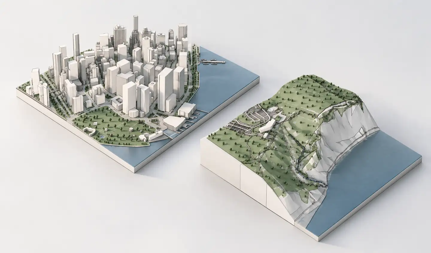
Archicad 3D site context
OpenStreetMap records streets, footprints and features that can be valuable at the start of an architectural project. The raw data, however, is not a finished Archicad site model. Archshaper interprets the available geographic information as a previewable 3D context model so you can skip manual extract preparation and geometry reconstruction.
Why use Archshaper?
Skip GIS preparation
Search an address instead of manually preparing raw OSM extracts.
Work with several layers
Inspect available footprints, paths, roads, landscape and terrain context.
Use the model in BIM
Download a supported IFC4 context export for Archicad, where enabled.
Four steps from map to Archicad
- Locate a real site
Search by address or navigate to the geographic location.
- Choose layers
Pick the size and types of context relevant to the project.
- Verify the preview
Check buildings, road networks and elevations visually.
- Export IFC4
Select Archicad when enabled and import the file through an IFC translator.
Why an OSM file is not an Archicad model
OpenStreetMap is a geographic database, not a library of ready-made building BIM models. Its building footprints and routes need to be interpreted as geometry before they can support a 3D architectural workflow.
Archshaper performs context preparation and preview from the available mapped sources. You can review the product model before downloading, instead of managing multiple geographic data conversion steps manually.
Which OSM features can become 3D context?
Mapped footprints, available or estimated building height data, roads, pedestrian routes and land-use features can contribute to a site model. Terrain may come from separate geographic elevation sources, not OSM itself.
Not every city has equally detailed coverage. Roof shapes, height tags, paths and other features may be absent or simplified. Inspect the preview and verify important inputs.
Bring geographic context into Archicad with IFC4
Use the Archicad IFC4 export option when available and import it with your team's preferred Archicad translator. Check placement, project units, north and elevation before introducing the context into an active BIM model.
Do not interpret each imported geometry feature as a fully editable native BIM object. The resulting geometry is a context reference, not a replacement for construction documentation.
Attribution and responsible use
OpenStreetMap is licensed under the Open Database License. Attribution and other license obligations can apply to derivative uses or published data, so check the OSM copyright information and any additional sources.
Mapped building data may be incomplete. For planning compliance, cadastral dimensions and precise building heights, corroborate with appropriate local surveys and authoritative sources.
Frequently asked questions
Can Archicad import an OSM extract directly?
Raw OSM data is not a finished IFC model. Archshaper prepares available geographic context for preview and supported IFC4 export.
Is all the terrain from OSM?
No. Terrain can be based on separate elevation data sources.
Are OSM building heights reliable?
Heights can be missing or estimated and should be checked where accuracy matters.
What license applies to OpenStreetMap?
OSM data uses ODbL and generally requires appropriate attribution; check the official license information.
Can I inspect the city before exporting?
Yes. Archshaper offers a free 3D browser preview.