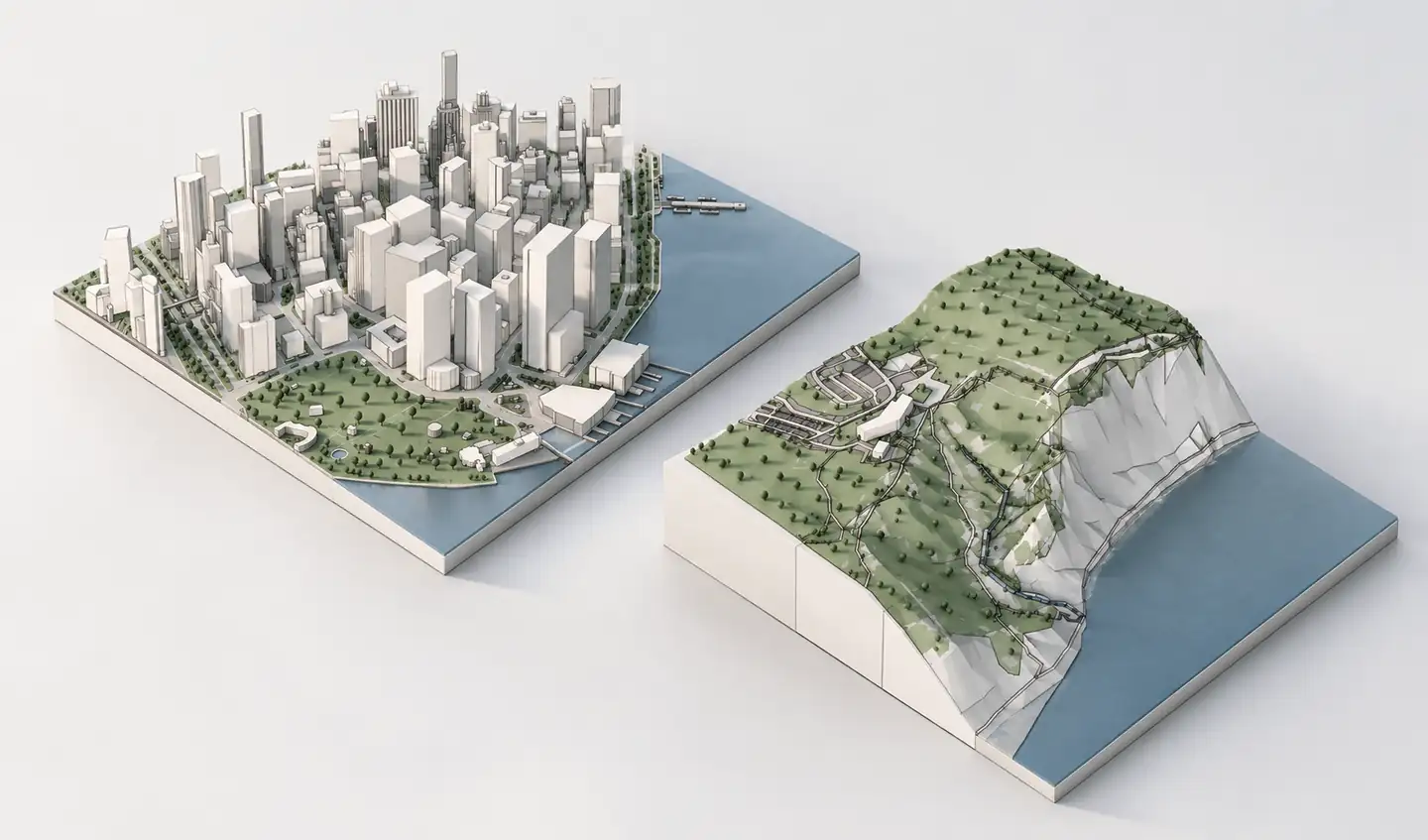
Archicad 3D site context
An Archicad design becomes more useful when it includes the environment around the site. Street widths, neighboring building masses, slopes and green space affect the building before the first wall is drawn. Archshaper creates preliminary context models from geographic data so you can focus on your proposed architecture rather than manually recreating the neighborhood.
Why use Archshaper?
See the site immediately
Search a location and select the relevant study extent.
Keep useful context together
Review buildings, roads, paths, water and available terrain in one model.
Continue in Archicad
Export IFC4 context geometry when the format is enabled, then import with your chosen IFC translator.
Four steps from map to Archicad
- Search your site
Enter an address or place in Archshaper 3D Map.
- Choose an extent
Select a 250 m, 500 m or 1,000 m context area according to your project.
- Inspect the preview
Review surrounding volumes, roads, landscape and elevation coverage.
- Export to Archicad
Select the Archicad IFC4 option when available, download and import using Open, Merge or Hotlink.
What should an architectural site model include?
An effective site model should communicate the physical conditions that shape a proposal: adjacent building masses, the surrounding street network, access and the relationship to terrain. Depending on geographic coverage, Archshaper can also represent waterways, green spaces, trees and other context layers.
Choose the layers that answer the design brief rather than exporting everything. Simplified existing conditions are useful for massing studies, competition drawings and client presentations but are not a legal site survey.
- Existing building masses and available roof information
- Roads, paths, green areas and waterways
- Terrain, topographic contours and site vegetation where data exists
IFC4 import into Archicad: what to expect
IFC is an open exchange standard that Archicad can read using configurable translators. Importing a site model makes neighboring geometry available in the BIM environment without requiring the buildings to be modelled one by one.
An imported IFC context model does not automatically become fully editable native Archicad Walls, Slabs or Mesh elements. Check units, project origin and elevation, and keep reference context separate from the proposed BIM model.
Choose the right area before exporting
A small study extent can be sufficient for an extension or infill project. Larger areas are useful for urban design, campus planning and architectural competitions. Larger models may be heavier, so select only the contextual information needed for the task.
Review the free 3D preview carefully, because building footprints, estimated heights and terrain resolution differ between sites. Verify important dimensions and levels with authoritative local data.
A better workflow for early-stage BIM
Treat Archshaper as an existing-context source and Archicad as the authoring environment for your design. Use imported surroundings for concept massing, coordinated presentation views and preliminary site studies.
When geometric accuracy affects compliance or construction, use a measured survey, local cadastral records and project-grade information rather than relying solely on open map data.
Frequently asked questions
Can I export an Archicad file directly?
Archshaper provides an Archicad-labelled IFC4 context export where enabled. Import it into Archicad with a suitable IFC translator.
Is preview free?
Yes. Inspect your 3D site context before spending credits on export.
Are the surrounding buildings native BIM objects?
No. They are reference geometry and are not automatically native parametric Archicad building elements.
Are the terrain and building heights exact?
Not necessarily. Heights or surfaces may be estimated; verify important dimensions independently.
How large can the context be?
The editor offers selectable context extents, including 250 m, 500 m and 1,000 m options.
Can I download a 3D model for Archicad?
Yes, the site-context export offered in Archshaper is an IFC4 exchange model for Archicad where enabled, not a native Archicad .pln file or an arbitrary file converter.