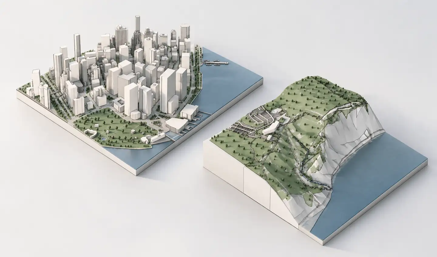
Archicad 3D site context
When architects search for a 3D export to Archicad, the practical question is often which file they should download and how it will fit into an existing BIM project. Archshaper provides location-based 3D context from available building and geographic data. In the 3D Map editor, you can inspect the site, choose the relevant layers and select the Archicad-labelled IFC4 export when it is enabled. The resulting IFC file can be imported into Archicad as site reference geometry using an IFC translator.
Why use Archshaper?
Use a documented BIM exchange format
Export IFC4 rather than relying on a screenshot or rebuilding massing geometry by hand.
Know what you are paying for
Inspect the selected context, visible buildings and terrain before spending export credits.
Keep control of your project
Use Archicad's IFC import settings to coordinate the external model with the native design.
Four steps from map to Archicad
- Find your project address
Search the real-world location in Archshaper 3D Map.
- Choose the context and layers
Set the required area and include buildings, roads, landscape or terrain where available.
- Select Archicad IFC4
Choose the Archicad export format and review the available credits or purchase option.
- Download and import the file
Open, Merge or Hotlink IFC in Archicad and verify scale, location, orientation and elevation.
Which 3D format should you use to import into Archicad?
Archicad supports several 3D file types, including IFC, Rhino 3DM and SketchUp SKP, with different import behavior. Archshaper's Archicad export option provides an IFC4 exchange file intended for surrounding site context. A Rhino file is another supported import route, but its geometry and objects may be treated differently in Archicad.
For a site model generated by Archshaper, select IFC4 when the Archicad export option is available. Do not confuse a neutral IFC model with an Archicad .pln file. It is not a complete native building project or a guaranteed parametric reconstruction of the existing neighborhood.
From a location to a downloadable 3D context model
Choose the geographic area relevant to the project. The 3D model can include mapped building volumes, streets, paths, landform and other supported context layers. Availability and detail depend on the local map and elevation sources. Use the free 3D browser preview to examine coverage and identify any missing or questionable building geometry.
For a tight urban site, keep the model small enough to coordinate efficiently. For competitions or campus studies, larger context areas may be helpful. The amount of context should follow the design question, not simply the maximum available area.
Import IFC4 into Archicad with Open, Merge or Hotlink
Graphisoft documents three workflows for IFC import. Open loads the model into a new project. Merge adds IFC content into the current project from the Floor Plan view. Hotlink attaches an IFC reference managed separately from the native design. The chosen IFC translator controls conversion, layer assignment and related element settings.
After importing, review 3D visibility and positioning relative to the project origin and elevation datum. File size, geometric complexity and approximate source heights may affect how useful the context is. Keep critical measurements linked to authoritative project data.
What Archshaper exports—and what it does not
Archshaper's 3D export is a generated geographic context model, not a general-purpose converter for uploaded OBJ, GLB, SKP or other arbitrary 3D source files. If you already have a 3D model from another application, use Archicad's documented native import options or a suitable model-exchange workflow instead.
The exported geometry is intended for architectural reference, concept design, massing, competition visualization and site coordination. It is not a replacement for a survey, certified terrain or detailed construction BIM. Verify important neighboring heights, property limits and existing site levels independently.
Frequently asked questions
Can I export a 3D model to Archicad from Archshaper?
Yes. Archshaper's 3D Map editor offers an Archicad-labelled IFC4 export when enabled. You can preview the location before downloading.
What file extension does the Archicad export use?
The Archicad export is an IFC file with the .ifc extension, using the IFC4 exchange format.
Will I receive an Archicad .pln project?
No. Archshaper provides an IFC4 exchange file, not a native Archicad .pln project.
Can I convert my existing OBJ or GLB file to Archicad here?
No. Archshaper's 3D Map is for generating site context from geographic data, not for converting arbitrary uploaded 3D files.
How do I import the IFC file into Archicad?
Use Archicad's Open, Merge or Hotlink IFC workflow, selecting an appropriate translator. Verify orientation, units and positioning.
Is 3D export free?
The 3D preview is free. File export uses the credit pricing shown in the editor before payment.
Are the resulting buildings editable Archicad elements?
Not necessarily. The imported geometry and translator determine the representation, and imported site context should generally be treated as reference material.