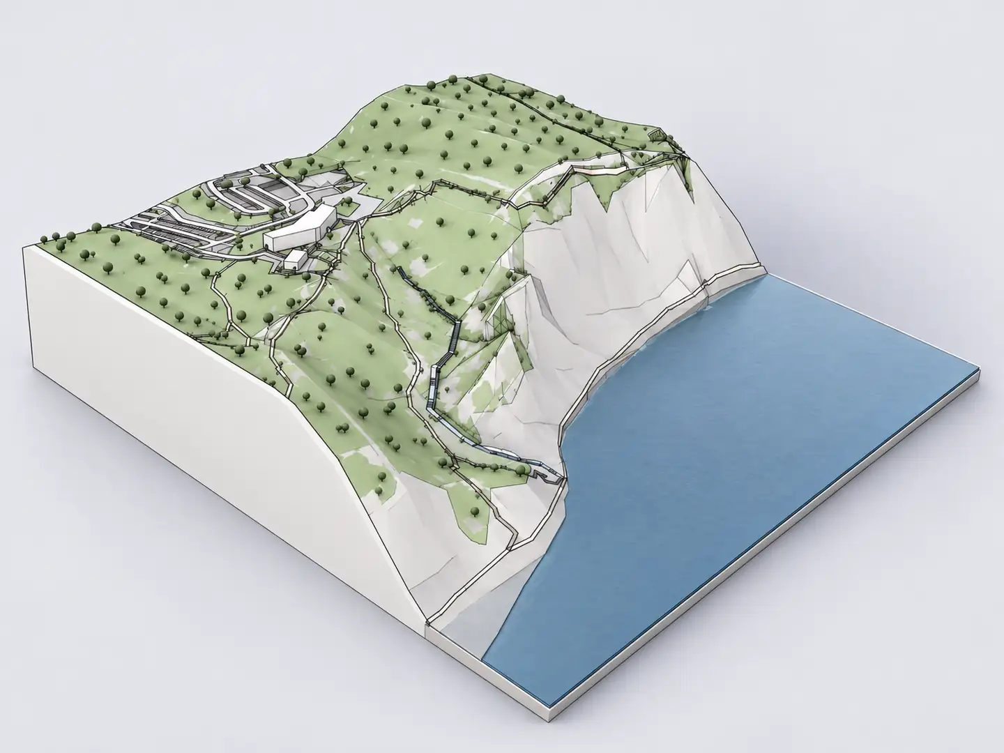
Archicad 3D site context
Landform is a design constraint as well as a visual opportunity. On hillside, coastal and landscape projects, a terrain model clarifies where the ground rises or falls and how buildings relate to their setting. Archshaper makes preliminary topographic context available from geographic sources for 3D preview and exchange.
Why use Archshaper?
Understand the slopes
Review elevation changes and terrain form in an interactive model.
Keep land and buildings connected
Inspect slopes alongside the available building, street and landscape layers.
Use a BIM reference
Export IFC4 terrain context where enabled and coordinate it in Archicad.
Four steps from map to Archicad
- Search the landscape site
Find the project location in the 3D editor.
- Select extent and layers
Choose the area and enable terrain or contour options as supported.
- Inspect ground levels
Rotate the preview and assess landform relative to surrounding buildings.
- Import IFC4 context
Export the model and check elevation, scale and placement with Archicad's IFC tools.
An IFC terrain model is not the same as native Archicad Mesh
Archicad includes its own native Mesh modelling tools. A terrain surface imported from an IFC file generally arrives as exchange geometry, not a fully editable parametric Archicad Mesh with native terrain point editing.
This is suitable for many concept and presentation workflows. When you need native terrain editing, construction levels or volume calculations, obtain appropriate survey information and create the required native BIM geometry.
What 3D topographic context can show
Terrain context helps communicate hillside access, waterfront conditions, visual relationships, landform and early massing. Including available roads and existing buildings explains how the built environment follows the ground.
The editor also offers contour-related options where supported. Derived contours reflect their original elevation dataset; they should not be described as newly surveyed site levels.
From geographic elevation data to an Archicad reference
Select a site area and inspect the terrain in the free 3D preview. If the Archicad IFC4 option is enabled, export the context and import it using an appropriate IFC translator. Check the model's elevation datum, coordinates and unit settings.
Choose a smaller context area when studying a building plot and a wider one where the overall hillside or waterfront affects the architectural idea.
Where preliminary terrain data stops being enough
Terrain resolution and geographic coverage vary. Generalized elevation surfaces are not suitable as the sole basis for construction grading, accessible-route compliance, engineered drainage or earthworks quantities.
Use authoritative surveyed levels and professional terrain data for those tasks. The generated context is best treated as a fast, legible starting point for conceptual design and site communication.
Frequently asked questions
Will the imported IFC surface become a native Archicad Mesh?
Not automatically. Additional conversion or reconstruction may be necessary for native editing.
Can I see contour lines?
Contour options depend on the selected model settings and available terrain data.
Is elevation coverage global?
Coverage and resolution differ by geographic area and data source.
Can I preview terrain without paying?
Yes. Inspect the browser model before deciding on a paid export.
Can I use this for grading or construction?
Not without independently verified survey-grade elevation data.