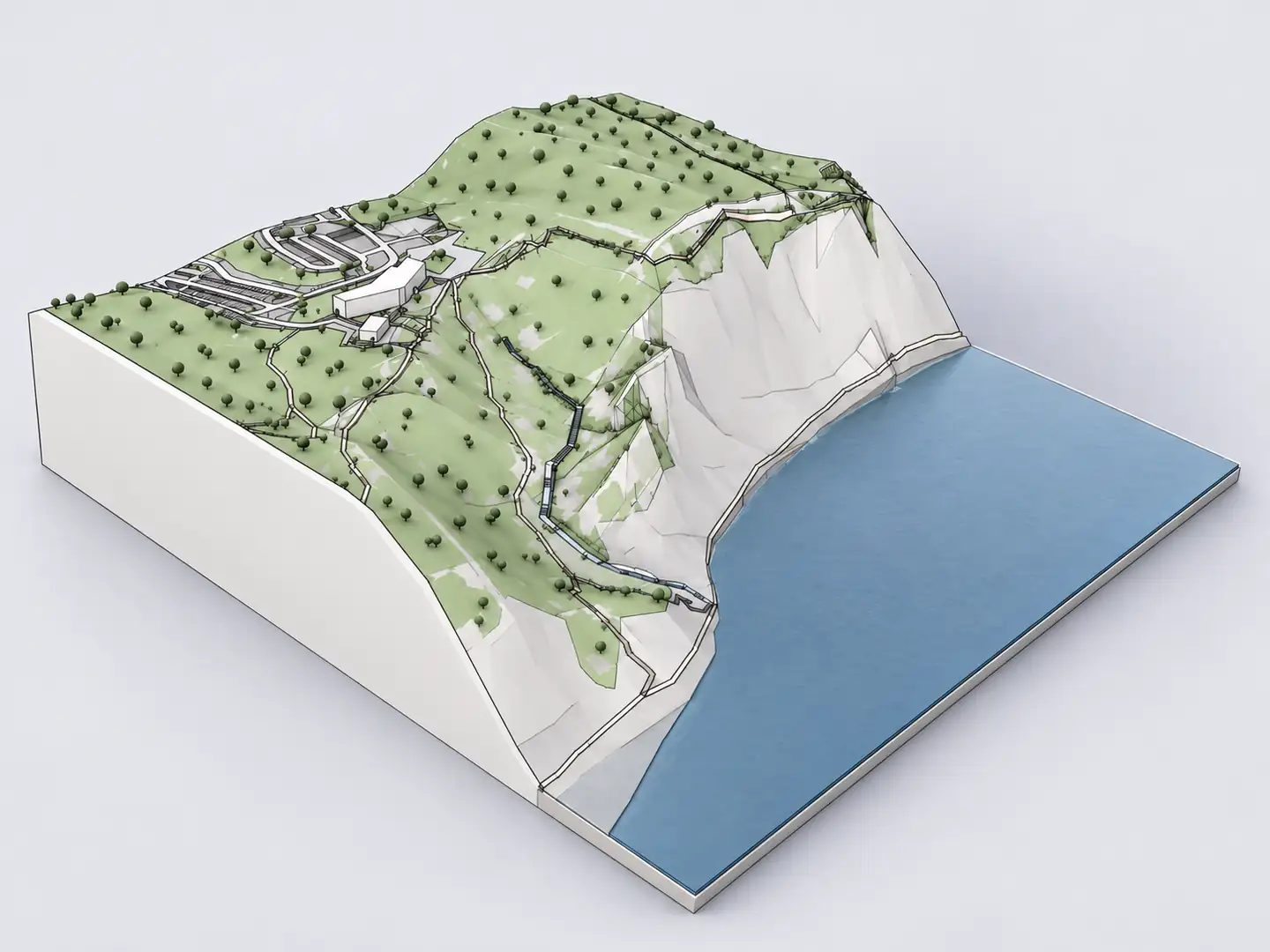
Archicad 3D site context
Google Earth is helpful for seeing where a project sits in the landscape, but a satellite view is not an editable Archicad site model. Architects usually need much more: surrounding building masses, street geometry, terrain and a model they can position alongside the design. Archshaper provides a different workflow. Search a real location, inspect the available 3D geographical context, and export IFC4 reference geometry where enabled—without extracting Google Earth's proprietary 3D content.
Why use Archshaper?
Keep location research separate from model data
Use Google Earth for visual orientation, then create your Archicad context from independently sourced geographic data.
Review the actual 3D site
Check slopes, street patterns, mapped buildings and context before purchasing an export.
Get geometry into your BIM project
Use IFC4 as reference geometry rather than relying on screenshots or manual tracing.
Four steps from map to Archicad
- Find a site
Search your project's address or city area in Archshaper 3D Map.
- Choose the context area
Select the required site extent and layers such as buildings, terrain, paths and water.
- Verify the 3D preview
Rotate the model to see whether terrain and neighboring massing are suitable.
- Export IFC4 for Archicad
Choose Archicad when enabled, download the file and import with a suitable IFC translator.
Can Google Earth 3D buildings be imported into Archicad?
Seeing a 3D building in Google Earth does not grant the right to extract, scrape or reconstruct Google's proprietary models for another application. Google Maps Platform policies restrict exporting Maps content and creating models from that content without permission. A Google Earth screenshot is also not a model that Archicad can use as 3D reference geometry.
The practical alternative is to use properly licensed or independently sourced geographic datasets. Archshaper assembles available mapped building and elevation context into an architectural 3D model. This workflow does not claim to convert Google Earth's imagery directly.
From a satellite location to architectural site context
Start by identifying the project area using the address or approximate location. In Archshaper, choose an area that includes the surrounding streets, adjacent blocks and landscape features relevant to the brief. The 3D preview then helps you evaluate building coverage and landform without first constructing a city in Archicad.
Building footprints and heights may be approximate; elevation coverage and level of detail vary by region. The context is most useful for concept massing, early site strategy and presentation views, not for exact surveying or engineering.
Import a reference model using IFC4
Once you have a suitable preview, select IFC4 where Archicad export is enabled. Archicad supports Open, Merge and Hotlink IFC workflows. Select the correct translator and check units, coordinates, north orientation and reference elevation when positioning the model in your active project.
IFC context geometry does not automatically become native, editable Archicad walls, roofs or terrain meshes. Keep the reference model separate from your authored BIM elements and retain project-approved source data for critical decisions.
When should you use each tool?
Use Google Earth or other map viewers for broad geographical orientation and preliminary visual observation. Use Archshaper for a previewable architectural site context export. Use Archicad to model the proposed building, manage BIM information and perform the detailed design work.
When you need accurate boundary lines, measured ground levels or verified adjacent heights, request authoritative GIS data or a professional land survey. Avoid treating any generalized 3D city model as a legal site record.
Frequently asked questions
Does Archshaper download Google Earth 3D models?
No. Archshaper uses independent geographic data sources; it does not scrape or convert Google Earth's proprietary 3D imagery.
Can I create a Google Earth-style context model for Archicad?
Yes, you can generate mapped terrain and building context from a real location and export IFC4 reference geometry where enabled.
Can I use Google Earth screenshots in a BIM model?
A screenshot is a flat image, not 3D building geometry. Follow Google's applicable licensing terms for any use of Maps content.
Will Archicad open the generated file?
Archicad supports IFC import. The result depends on the version, translator and exported geometry.
Are the terrain and building heights accurate?
They may be generalized or estimated. Verify important dimensions against authoritative local information.
Can I preview the site without paying?
Yes. Archshaper provides a free 3D browser preview before the paid export.