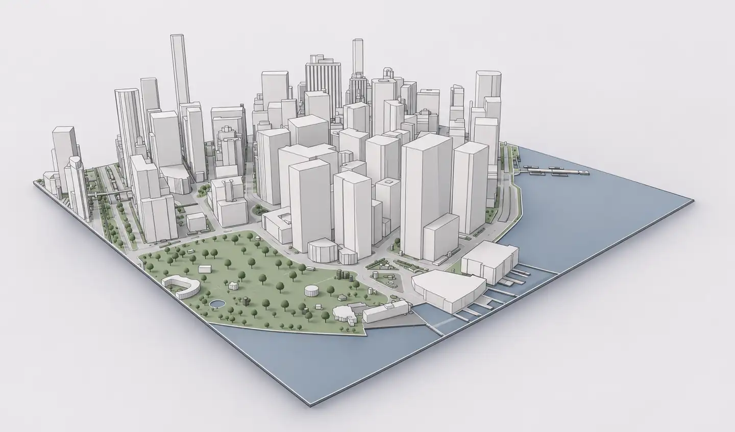
Archicad 3D site context
A city model helps an architect understand the proposal in relation to the district. Existing urban blocks, street proportions, open space and skyline are important even when the assignment concerns a single building. Archshaper converts available geographic context into a 3D model that can support concept work and urban presentations.
Why use Archshaper?
Read the city at a glance
Understand the density and scale of surrounding blocks.
Keep layers together
Include mapped streets, parks, water and landform with urban building massing.
Avoid manual massing work
Start with a reference context model instead of drawing the entire neighborhood.
Four steps from map to Archicad
- Locate a district
Search your urban site in Archshaper's 3D Map.
- Select coverage
Choose a compact block or a wider city area.
- Check the massing
Review the 3D preview for missing buildings and approximate heights.
- Export IFC4 context
Choose the Archicad option when enabled and import the IFC file in your project.
Why 3D city context matters in Archicad
A two-dimensional plan can show building footprints but cannot explain the relationship between tower heights, courtyards, street walls and public space. Three-dimensional urban massing provides an immediate understanding of those relationships.
Use the context as a working reference for massing, visibility, architectural competitions and presentations. It is not a comprehensive semantic BIM inventory of an existing city.
From an urban block to a district
Select the smallest geographical extent that illustrates the design question. Compact context models are easier to coordinate for single-building projects, while larger areas can communicate master plans, campus developments and competition proposals.
You can control supported model layers in the editor. The preview helps establish whether geographic coverage is adequate before exporting.
Importing urban reference geometry via IFC4
IFC4 carries the exported context geometry into Archicad where the format is available. The Archicad IFC translator governs how that geometry is read and categorized. Check alignment with the project origin and elevation datum before combining it with your design.
Existing city buildings represented as simplified massing should remain distinct from the native BIM elements of the proposed development. Their footprints and heights may be approximate.
Practical applications in design work
Architecture competition teams can compare concept volumes in the same urban setting. Urban designers can present how a proposal affects the wider block. Landscape architects can read built form alongside mapped green space and routes.
For shadow compliance, setbacks, construction and property limits, check authoritative information and survey data rather than relying on generated city context alone.
Frequently asked questions
Does Archshaper export a complete city?
No. It generates selected context areas, with coverage and data quality depending on the location.
Can Archicad import the city model?
Archicad supports IFC. Choose the IFC4 output when enabled and import with a suitable translator.
Are buildings detailed BIM models?
No. They are generalized context masses rather than separately authored construction BIM assets.
Can I include streets and terrain?
Yes, where supported layers and geographic data are available.
Can I preview first?
Yes. The 3D browser preview is available before export.