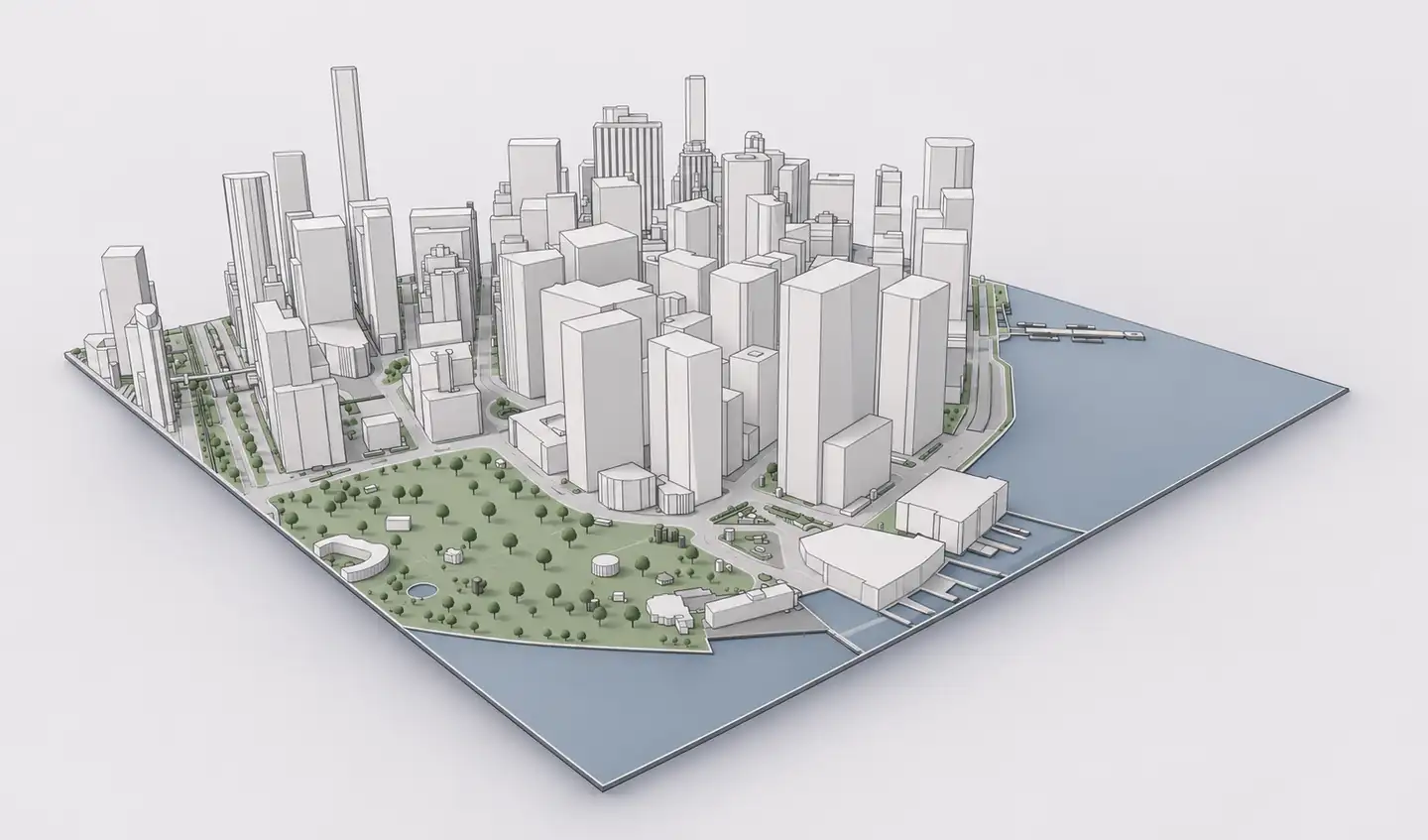
Archicad 3D site context
Cadmapper is a well-known way to generate CAD files from geographic data for architects and designers. It advertises AutoCAD, SketchUp, Rhino and Illustrator workflows and offers free custom maps within a published area limit. If the destination is Archicad, however, the import path matters as much as the underlying data. Archshaper focuses on previewing a 3D context model and exporting it through the Archicad-labelled IFC4 option where available.
Why use Archshaper?
Understand the format difference
Cadmapper publishes CAD-oriented workflows; Archshaper offers an IFC4 route intended for Archicad context import.
Preview your actual model
Rotate the generated 3D context in the browser before spending credits.
Select only the context you need
Build surroundings from supported building, terrain and street layers at a chosen location.
Four steps from map to Archicad
- Identify what you need
Decide whether the project requires 2D CAD drawing layers or 3D IFC reference geometry.
- Check Cadmapper formats
Review the formats and free-area limits published on CADMAPPER's official website.
- Preview Archshaper context
Search a project address and inspect the 3D buildings, terrain and road network.
- Export for Archicad
Choose IFC4 when available; import as reference geometry using your Archicad translator.
What Cadmapper is particularly useful for
Cadmapper generates organized CAD files from public geographic data. According to its website, the tool supports AutoCAD, SketchUp, Rhino and Adobe Illustrator workflows, and offers free custom files up to 1 km² as described in its current product information. This makes it a viable choice for designers who want CAD-oriented mapping and modelling input.
Cadmapper's own files are intended for illustration rather than engineering or surveying. Review the official format list, coverage and pricing for the precise export you need.
Why IFC4 can be a simpler route into Archicad
For an Archicad-centric workflow, an IFC4 reference file can be more direct than importing another application's CAD format and converting it. Archicad has documented IFC Open, Merge and Hotlink workflows, each with translation controls that determine the imported element representation.
Archshaper's IFC4 file should still be treated as preliminary reference context, not a set of native editable Archicad building components. Verify the translator, units and coordinates after import.
Compare the two site-context processes
Cadmapper starts with selecting an area and downloading CAD files suited to supported design programs. Archshaper emphasizes interactive 3D preview, contextual layer selection and a pay-on-export model. Both use geographic data whose quality and detail may vary by location.
A user with a primarily Rhino or AutoCAD workflow may reasonably choose Cadmapper. Someone preparing 3D surroundings specifically for Archicad may prefer to test Archshaper's IFC4 route. The better choice depends on available layers, your required file format and whether you need editable CAD entities or IFC reference objects.
Which tool should you choose for a competition or site study?
For a figure-ground drawing, a CAD-first workflow may be sufficient. For preliminary 3D Archicad context, test the site in Archshaper before committing to a file. Compare the preview with your project requirements, then check the imported result in Archicad.
Neither generalized map-derived model is a replacement for an authoritative land survey, verified building heights or construction-grade topography. Always use project-grade data for design decisions that depend on precise measurements.
Frequently asked questions
Does Cadmapper support Archicad natively?
Cadmapper's public website emphasizes AutoCAD, SketchUp, Rhino and Illustrator workflows. Check its current export-format list for compatibility with your Archicad version.
Is Cadmapper free?
Cadmapper advertises a free option for custom maps up to 1 km², alongside larger paid exports. Consult its website for current limits.
Can Archshaper export IFC4 for Archicad?
Yes, where the Archicad IFC4 option is enabled in the 3D Map editor.
Is Archshaper free to preview?
Yes. You can inspect the 3D context preview before paying for an export.
Which is best for native Archicad modelling?
Neither generic context generator guarantees editable native Archicad building objects. They produce imported reference context, not a complete building BIM.
Can I compare the models for my own site?
Yes. Preview your site in Archshaper and review a comparable Cadmapper file, then assess accuracy, file format and import outcome.