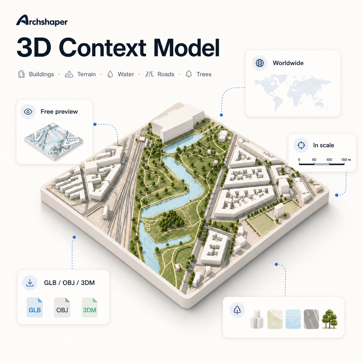
Archicad 3D site context
One of the most time-consuming parts of a context presentation is often the least important thing to model accurately by hand: every building around the site. Archshaper lets you inspect available surrounding massing and generate a contextual model that can accompany the design in Archicad.
Why use Archshaper?
Show the actual scale
Compare the proposed volume with its existing neighboring blocks.
Improve concept views
Use simplified context for axonometrics, client reviews and early design studies.
Keep BIM organized
Place the IFC4 surroundings as reference geometry, separate from the proposed model.
Four steps from map to Archicad
- Find your building site
Search the address or area of the proposal.
- Choose nearby context
Select a boundary that captures the neighboring buildings relevant to the brief.
- Inspect the massing
Review coverage, building volumes and heights in the 3D viewer.
- Bring it into Archicad
Download IFC4 when available and check model placement, units and orientation after import.
Why adjacent building geometry is worth including
A proposed extension, housing block or urban infill project must respond to nearby streets and buildings. Existing masses make height, street enclosure, views, entrances and scale immediately clearer than an isolated project render.
Even relatively simple architectural context is valuable at concept stage. It should not be presented as a measured 3D survey of neighboring property.
Generate neighboring buildings without tracing
Open Archshaper 3D Map, search your location and select the buildings layer. Add roads, paths, green areas or terrain where they improve the context. The free preview reveals whether building coverage is useful at the chosen location.
Choose the smallest extent that captures the necessary urban fabric. Keeping context concise reduces unnecessary model complexity.
Use an IFC4 reference instead of inventing BIM elements
Archicad's IFC import workflows let you bring exchange geometry into a project. The imported context may be represented as generic objects or other geometry types depending on export structure and translation settings.
That does not automatically reconstruct native parametric Walls, Roofs or Slabs. Preserve imported context as existing conditions, and verify project datum, origin and units before coordination.
Check data quality before relying on the context
Building heights may be estimated when precise tagged information is unavailable. Missing building footprints, incorrect heights and generalized roof shapes can occur in open geographic datasets.
Use authoritative local survey information where measurements affect planning, sunlight regulation, fire separation or construction. For massing presentations and early-stage studies, simplified context can still be highly useful.
Frequently asked questions
How do I put existing buildings around my Archicad model?
Generate a context model for the project location and import the IFC4 export into Archicad as reference geometry.
Do I have to model each neighbor?
Not where building data is mapped. The preview shows what is available.
Will Archicad convert them to walls?
No. IFC context does not automatically become native, editable Archicad Walls.
Are neighboring building heights accurate?
Heights may be estimated. Verify project-critical measurements independently.
Can I also include roads and vegetation?
The editor offers supporting layers where geographic coverage is available.