Understand the conditions around your project
Topography affects building placement, access, drainage, landscape design and the experience of moving through a project. A topographic site-analysis diagram helps explain the relationships between relief, water, routes and urban form. Archshaper provides presentation-oriented context views based on available spatial data.
Real terrain and context diagrams
These authentic Archshaper images show how contour information, buildings, landscape and water can be presented together. Not every map is a detailed terrain model.
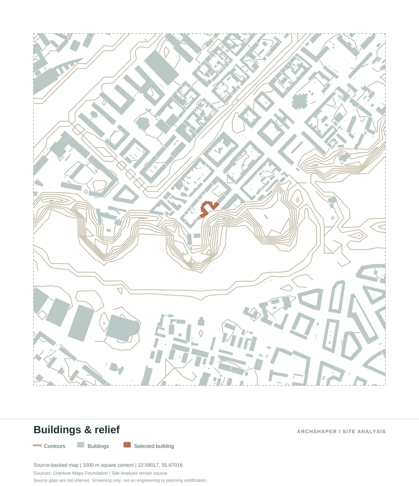
Terrain contours, building footprints and the site context.
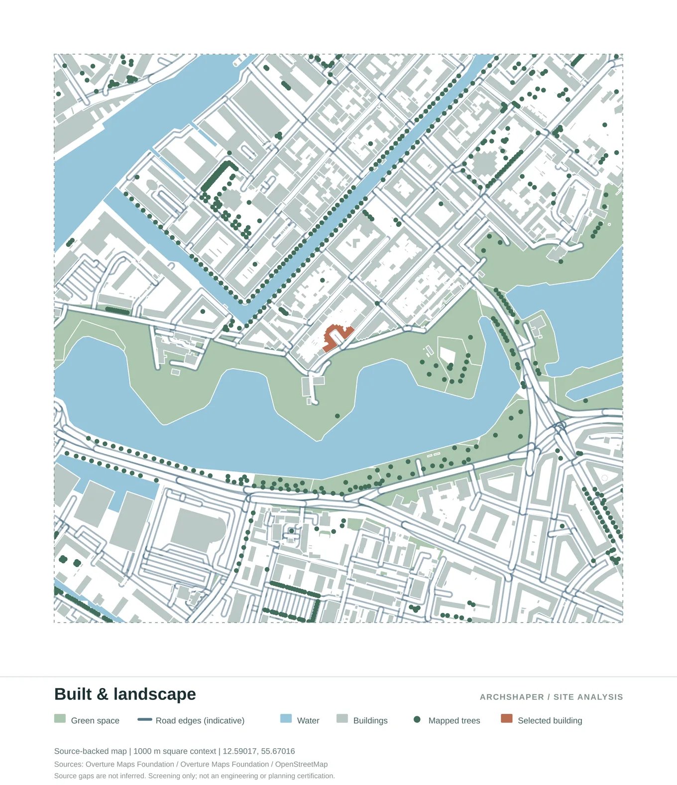
The relationship between urban fabric, vegetation and open space.
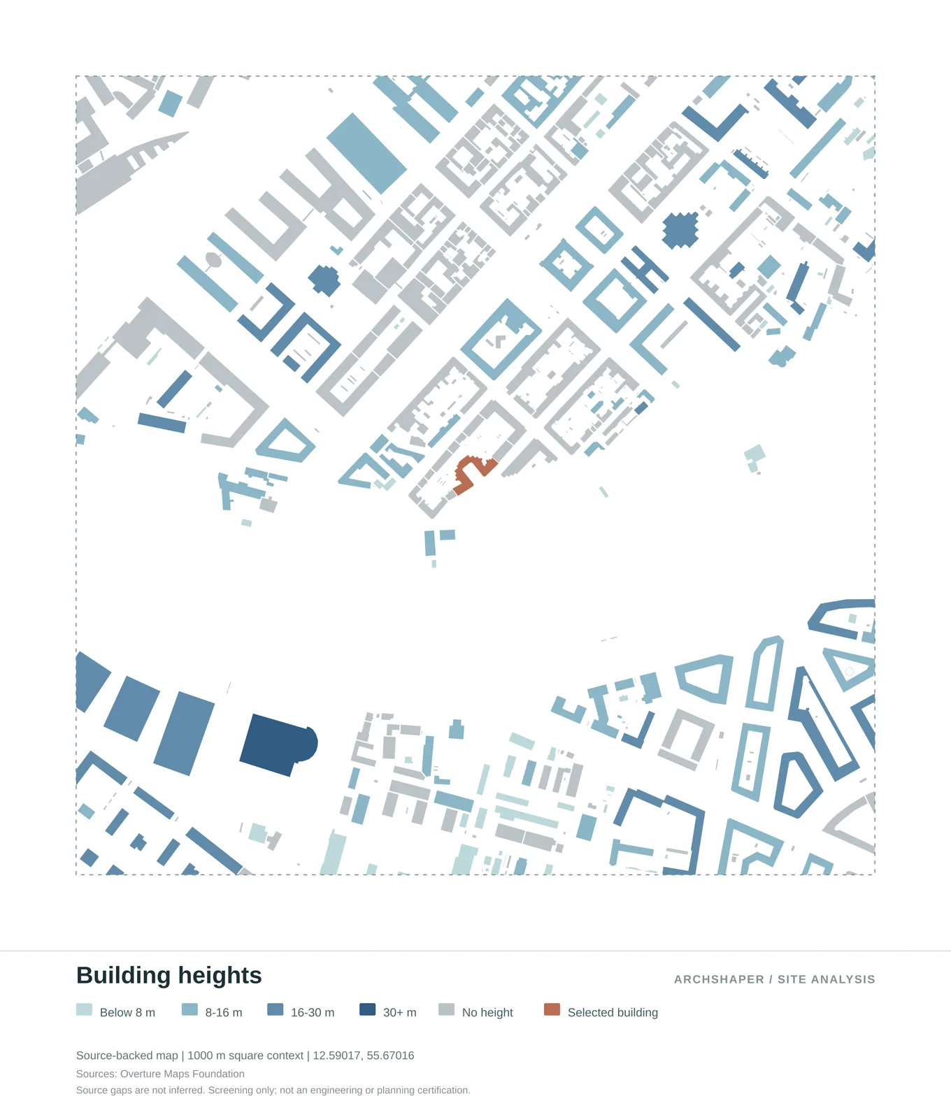
Compare mapped building-height categories across the surrounding blocks.
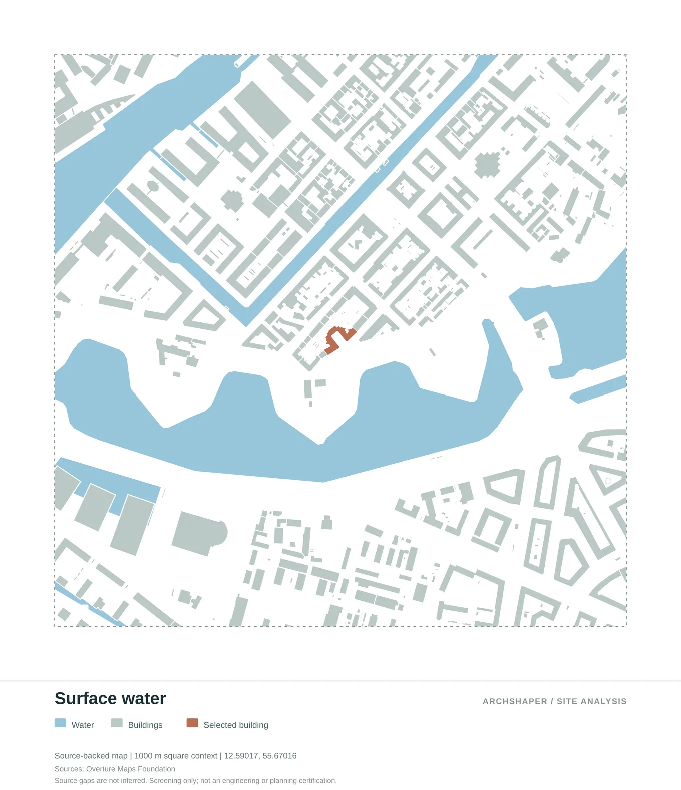
Water bodies and the site's relationship to rivers, canals and coastlines.
What do contour lines tell an architect?
A contour line joins points of equal elevation. Close spacing generally indicates a steeper change of height than wide spacing, but the interval and source accuracy must be known before drawing precise conclusions.
Read a contour study alongside the surrounding streets and building footprints. This shows how relief may affect entrances, routes or a proposed public space without pretending that a graphic alone establishes surveyed levels.
Combine relief with buildings, landscape and water
Topographic context is strongest when it is related to physical systems. The same hillside can behave differently depending on vegetation, surface drainage and the pattern of existing streets.
Use a buildings-and-relief diagram to communicate spatial relationships, then examine the water and landscape views to build hypotheses about the site's character. Flooding, drainage capacity and soil conditions require separate authority data or engineering investigation.
Topographic site analysis versus a 3D terrain model
A 2D contour map is suited to a presentation sheet and early site interpretation. A 3D terrain model can be better when the task involves section development, slope transitions or massing in relation to ground form.
Choose the output for the design question. For construction levels, retaining walls, accessibility gradients or earthworks, rely on a measured survey and validated digital terrain model rather than a generalized public basemap.
A practical topography workflow for an architecture board
Start with the site location and its immediate context. Check whether terrain and contour data are available and review the source and interval used by the output. Compare terrain with built form, roads, waterways and green areas.
Export a contour-context drawing as part of a broader site-analysis set. Keep the site highlighted, and note any uncertainty before using the drawing to justify a technical design decision.
Frequently asked questions
What is a topographic site analysis?
A study of a project's landform and elevation relationships, often using contours alongside buildings, routes, landscape and water.
Does Archshaper provide a legal topographic survey?
No. Its map outputs help with early context and visualisation; construction-grade site levels require a professional survey.
Can I calculate exact slope from a picture of contours?
Not reliably. You need a verified contour interval, coordinates and elevation data or a surveyed terrain model.
Is topographic site analysis useful in flat cities?
Yes. Even small changes of level and relationships with drainage or waterfront edges can be relevant; use data that has sufficient resolution.
How can I combine terrain with other site analyses?
Pair the contour-context map with building, landscape and water diagrams using a consistent study extent and a clearly marked project site.